
Big Bend Is Remote by Design, Not by Accident
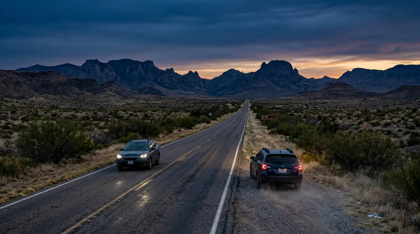
No airport sits anywhere near the full destination guide, and that isn't an oversight, it's the whole point of the place. The same Chihuahuan Desert isolation that makes this one of the darkest skies in the US national park system also means nothing about getting there is quick. The National Park Service doesn't dress this up: the isolation of Big Bend National Park is a draw for many visitors, it also means your trip must be well prepared and carefully planned[1].
That's the honest starting point for this guide. Two airports work as gateways, neither one close, and once you're past the park boundary the ordinary rules of road-tripping mostly stop applying. There's no cell tower to fall back on if you miss a turn, no rideshare app, no quick stop at a gas station you half-remember passing. Plan the logistics first, and the stargazing part of the trip takes care of itself.
Plan the logistics first, and the stargazing part of the trip takes care of itself.
Midland and El Paso: Two Airports, Neither One Close
Two commercial airports work as realistic gateways to Big Bend, and neither one is actually close. Midland International Air and Space Port sits 235 miles from park headquarters[2], the shorter of the two options by a wide margin. El Paso International Airport is farther still, 330 miles from headquarters[3], picking up nearly a hundred extra miles of driving for anyone who lands there instead. Both are small regional airports rather than major hubs, so budget for a connecting flight on most itineraries from outside Texas rather than counting on a nonstop.
Drive time tracks the distance, though the El Paso route runs slower than the mileage alone suggests. The run from Midland takes an estimated 3.5 to 4 hours door to door, a reasonable translation of that 235-mile distance at typical two-lane highway speeds. From El Paso, the faster route runs I-10 East to Fort Stockton, then US-385 South through Marathon, covering the distance in roughly 6 to 6.5 hours[4], not the straight highway math the mileage alone implies. That estimate assumes no wrong turns, no extended stop in Fort Stockton, and highway speeds the entire way. Treat it as the floor, not the average, and plan to land with enough daylight left to make the drive without doing the last hour in the dark on unfamiliar road.
For most travelers flying in from elsewhere in the US, Midland is the better call unless a flight connection makes El Paso meaningfully cheaper or easier to book. Confirm a rental car is actually available before committing to either airport too; counters at both thin out fast on weekends, and Big Bend is not a market where a canceled reservation gets fixed with a quick rideshare instead. Reserve the car when you book the flight, not after; a smaller regional lot has far less slack to absorb a last-minute booking than a major-hub counter does. Neither route passes through anything resembling a city once you clear the outskirts of either airport, so budget the last hour of either drive as its own kind of test: two-lane blacktop, mesquite scrub in every direction, and increasingly patchy phone signal the closer you get.
No Public Transit, No GPS You Can Trust
Rent a car before you plan anything else. That's not a suggestion, it's close to a requirement: there is no public transportation to or within Big Bend National Park[5], and no shuttle bridges the gap between either airport and the entrance gates. Whatever you land with is the whole plan; there's no backup option waiting at Panther Junction if a rental falls through.
Don't lean on your phone to fill the gap either. GPS and app mapping services do not work well within this remote area[6], and that's the National Park Service's own assessment, not an exaggeration from a travel blog. Offline maps, downloaded before you lose cell range, matter more here than almost anywhere else in the US park system. A paper map as backup isn't overcautious, it's standard practice for anyone who has actually driven these roads before.
Featured · Destination
Big Bend National Park
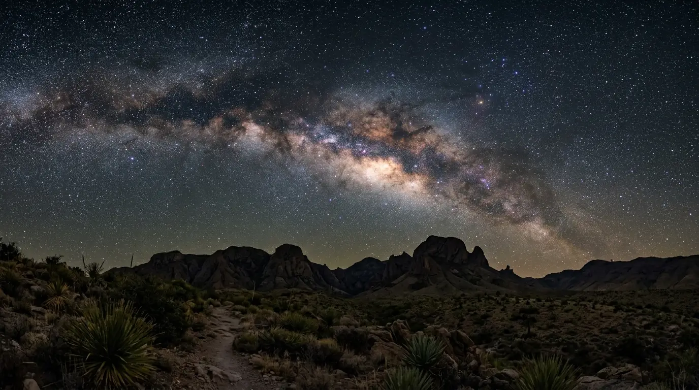
Big Bend National Park is Bortle Class 1, the darkest rating the Bortle scale has. What that dark sky rating means on the ground, and the best months to go.
A satellite messenger is worth carrying too, especially for anyone driving after dark to a stargazing spot far from Panther Junction. It's one of the only reliable ways to call for help where a phone shows no bars at all, and in this park, that's most of the map.
Cell Coverage: Two Small Pockets, and Nothing Else
The National Park Service is direct about how thin coverage really is: cell service is very spotty throughout the entire Big Bend area[7], and that's not a dead zone in the usual sense of a few dropped bars on a backroad; it's most of a national park where a phone functions as a camera and a flashlight, nothing more.
Recommended tours
Tours are selected for quality, not commission. I earn a small fee if you book — at no extra cost to you.
The only spots with anything close to reliable signal are Chisos Basin and the area near Panther Junction[8]. Outside those two pockets, assume you're offline the moment you leave pavement, and often before that.
Where signal actually holds
Cell service across Big Bend is limited to two small pockets, Chisos Basin and the area near Panther Junction. Outside those, plan every route as if your phone were a camera and nothing more.
That has consequences beyond a missed text message. Tell someone your route and expected return time before any night drive to a stargazing spot, the same way you'd brief a hiking partner before a backcountry trail. Chisos Basin and Panther Junction are also where you'll want to make that call, since they sit closest to the only signal the park reliably offers.
Provisioning Before You Go, and Where to Sleep After the Drive
Whichever airport and route you pick, arrive with more supplies than instinct says you need. NPS spells out the basics plainly: visitors must prepare with plenty of gas, oil, food, and water[9], because the distances between services inside Big Bend run far longer than most road trips train you to expect. The nearest EV charging station sits 130 miles away in Fort Stockton[10], which turns a marginal charge on arrival into a genuine risk for anyone driving electric, not just an inconvenience. Top off in Alpine or Marathon regardless of what you're driving; both sit closer to the park than Fort Stockton and neither guarantees the next fuel stop is exactly where a map suggests it should be.
Where you sleep after that drive matters almost as much as the drive itself. This high-basin lodge is the only lodging inside the park, tucked into the high basin a short walk from some of the darkest sky Big Bend offers, and it sells out well ahead of peak season since there's no in-park competition. Outside the boundary, Terlingua, Study Butte, and Alpine fill in the rest of the area's beds, each anywhere from twenty minutes to well over two hours from a park entrance depending on which one you land near. Want the stargazing handled for you instead of just a room? StarStruck Glamping's off-grid domes near Terlingua Ranch include a telescope and a guided audio session with every stay.
Featured · Article
What Is Astrotourism? The Complete Beginner's Guide
Astrotourism means travel built around dark skies: meteor showers, auroras, the Milky Way. What it means, where to go, and how to plan your first trip.
To the north, Marathon works as its own gateway town, and the historic Gage Hotel sits close to the Persimmon Gap entrance, trading proximity to the darkest sky for a real restaurant and a bar worth the stop after a long day of driving. Whichever base you choose, book it before you book the flight; rooms near Big Bend fill up faster than the remoteness of the place would suggest.
What to load in the car before you leave
- A full tank plus a plan for the next fill-up; gas stations thin out fast past Alpine or Marathon
- Offline maps downloaded before you lose signal, not after
- More water than feels reasonable, even for a short stay
- A physical map or atlas as backup to any phone or GPS unit
- A written note of your route and return time, left with someone outside the park
Which Airport Should You Actually Book?
Book Midland unless the flight math says otherwise. It's the shorter drive by a wide margin, the roads feel less like an endurance test, and for most itineraries the time saved translates directly into an extra hour of usable daylight or a longer window at whichever overlook you've picked for the night. El Paso earns its place only when a connection through it runs meaningfully cheaper, or when the trip already includes something else in that direction, like the loop many stargazers build to combine Big Bend with a stop at the observatory's public star party near Fort Davis.
Neither option turns this into a quick trip, and accepting that before you book anything saves a lot of frustration later. Build at least two full days into the itinerary just to absorb the drive in both directions, on top of however many nights you plan to spend under the sky. Pair the visit with exactly where to set up once you're there to plan exactly where those nights go once you've made it in.
| Airport | Distance to park headquarters | Drive time |
|---|---|---|
| Midland International Air and Space Port | 235 miles | 3.5-4 hours |
| El Paso International Airport | 330 miles | 6 to 6.5 hours |