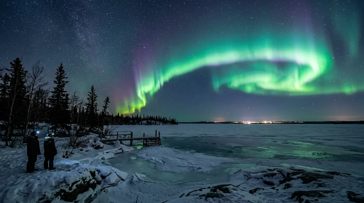
Sweden · Best Aug-Apr
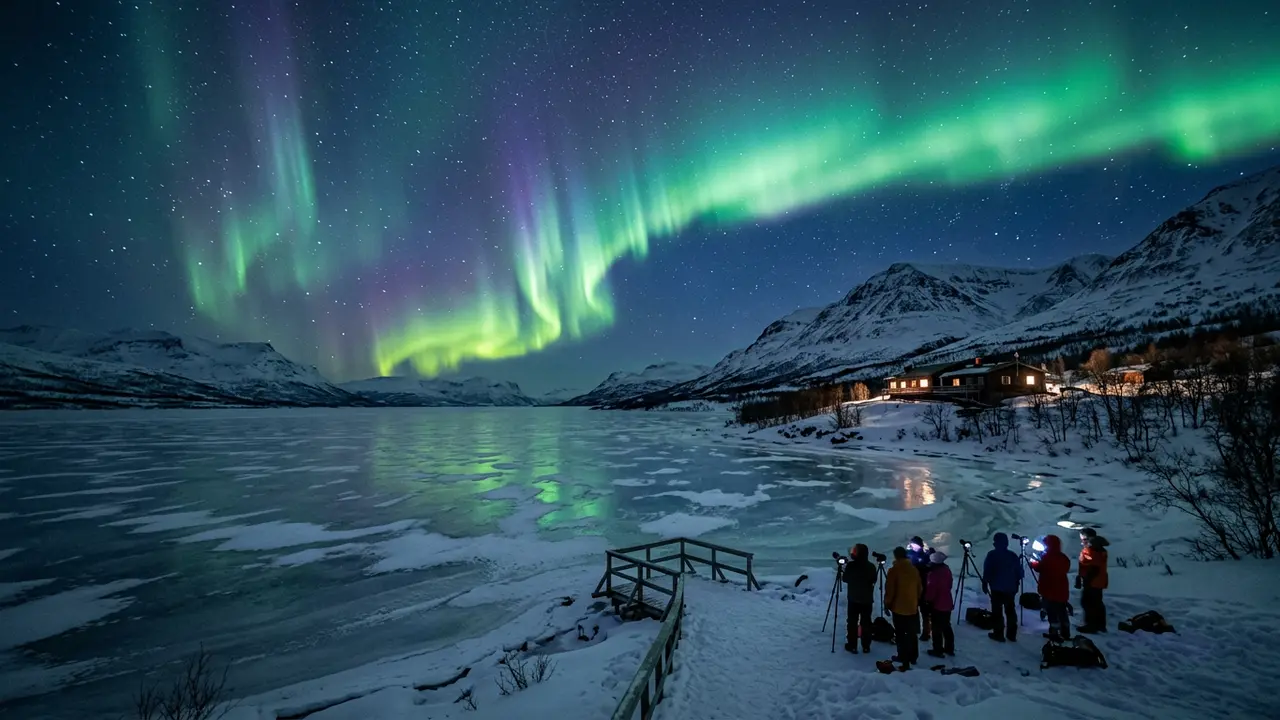
Abisko Stargazing
Abisko's rain-shadow microclimate keeps skies clear when nearby Arctic spots cloud over. Aurora season, the Sky Station, ICEHOTEL, and getting there by train.
Discover
Every destination I cover, on one map: aurora country crowding the poles, the great desert skies strung along the dry latitudes, and the island observatories in between. Filter by what you want overhead, the month you can actually travel, and how dark the sky really gets — then tap a pin to open the full guide. For the ranked comparison, the destinations page keeps the verdicts.
No destinations match these filters.
Each pin is one destination, and the glow around it encodes measured sky darkness: the wider the halo, the darker the sky, with Bortle 1 sites getting the widest. Tap any pin for a quick preview and the link to that destination’s full guide.
The toggle in the map’s top-left corner adds a light-pollution layer from David Lorenz’s 2024 Light Pollution Atlas. Brighter tones mean more artificial skyglow; the black zones are where the night still goes properly dark. Zoom in on a destination to see how far its dark sky actually extends.
Every destination carries a 0–3 score for each month of the year, from the same seasonal model behind the month-by-month guides. Selecting a month keeps the destinations scoring 2 or higher — good or peak — for that month. For the ranked breakdown, open the month’s full guide from the link that appears under the filters.
The map answers “where is it, and what’s nearby” — the fastest way to see that aurora country clusters near the poles while the great Milky Way skies sit along the desert latitudes. The destinations page is the ranked comparison, with editor’s picks and season verdicts. Start with whichever matches your question; each links to the other.