
Two Separate Projects, One Dark Sky at Risk

The larger of the two projects runs from Fort Quitman in Hudspeth County southeast to Colorado Canyon in Presidio County, crossing Jeff Davis County in between[2]. At 175 miles, this is a continuous primary border wall system through some of the most light-pollution-free terrain left in the continental United States. Barnard Construction and Fisher Sand & Gravel hold contracts totaling over $3 billion[3], already in place before CBP's May 20 confirmation of the in-park contract, with a general program target completion of early 2028 and funding drawn from the $46.5 billion One Big Beautiful Act border-security allocation[6].
The second project is inside Big Bend National Park itself. On May 20, 2026, CBP confirmed a $1.7 billion contract awarded to Southwest Valley Constructors for vehicle barriers, remote surveillance technology, and patrol roads along the park boundary[1]. CBP explicitly stated this contract would not be used for a 30-foot steel wall inside the park.
Both projects share a common infrastructure footprint. CBP documents obtained by Marfa Public Radio list lighting poles, remote video surveillance systems, and patrol roads up to 24 feet wide capable of supporting Border Patrol vehicles[2]. Also in the plans: fiber optic cable trenches, drainage gates, and large staging areas for construction equipment.
For spring 2026, the claim from CBP was that the wall was off the map. On February 13, CBP told local officials the plan was technology-only, no physical barrier. On February 18-20, a 112-mile wall section appeared on an updated map. On March 6, the wall vanished from the map again. On April 22, 17 miles of vehicle barriers appeared back on the Big Bend National Park boundary[4]. The map kept changing, and with every revision, the question of how much sky would be lit up changed with it.
As of early August 2026, ground has broken on at least some segments of the project. The contracts are signed and the funding is allocated, and this is a fast-moving situation, so check current reporting for the latest on which segments are active.

What Border Infrastructure Does to a Bortle Class 1 Sky

Big Bend National Park holds a Bortle Class 1 rating, the darkest classification on the nine-step Bortle scale and the standard for skies with essentially no artificial light dome. The National Park Service has stated that Big Bend has the least light pollution of any national park unit in the lower 48 states[5]. That rating is not theoretical. It is documented by Sky Quality Meter readings, decades of McDonald Observatory data, and International Dark Sky Park certification.
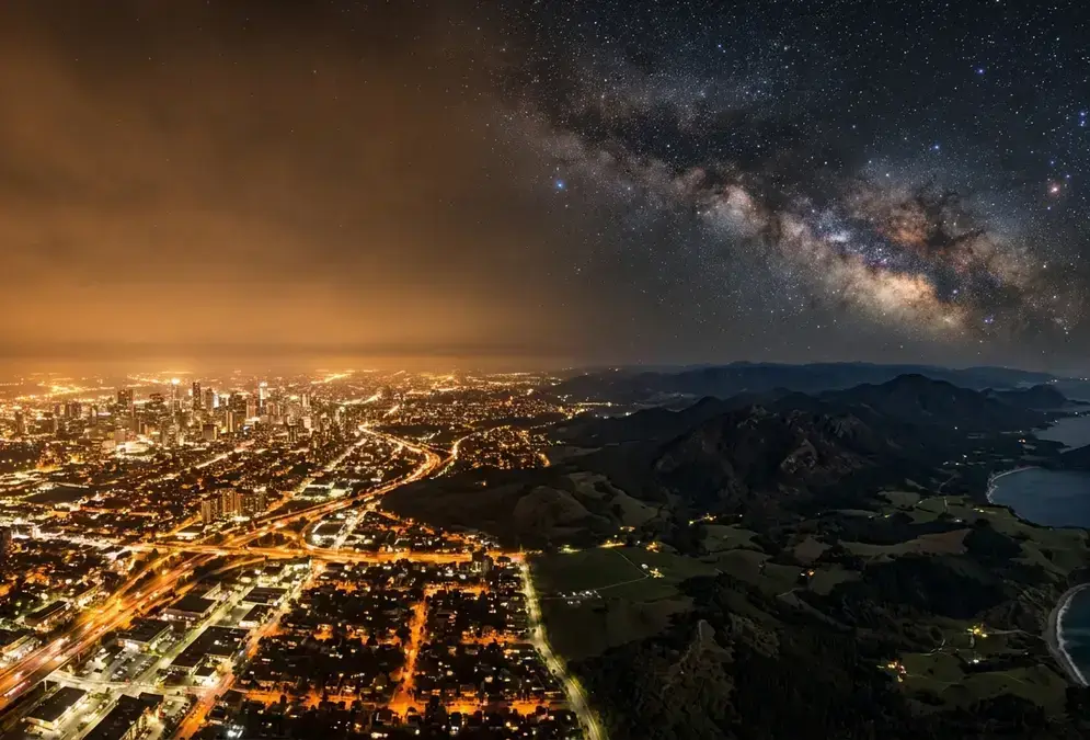
CBP lighting introduces artificial light at night (ALAN), the term light-pollution researchers use for any human-made illumination that alters natural darkness. Even a small cluster of lighting poles on a patrol road can create a visible light dome on the horizon from miles away, scattering upward through desert air and drowning the faint detail that makes a Class 1 sky worth traveling to.

175 miles

The continuous primary border wall system planned from Fort Quitman to Colorado Canyon, crossing three West Texas counties and cutting through the perimeter of one of the world's largest certified dark-sky reserves.
The patrol roads are a secondary problem. A 24-foot-wide gravel or paved road through desert terrain reflects headlights, moonlight, and even starlight differently than the dark ground it replaces. The albedo difference, the change in how much light a surface reflects back upward, adds to the total artificial skyglow measured at any overlook within line of sight.
Fiber optic trenches and staging areas add a third layer: construction-phase lighting that can run for months before any permanent infrastructure is even operational. The staging areas alone, with generator-powered floodlights for night work, would be visible for tens of miles across the open Chihuahuan Desert.
CBP has not published detailed lighting specifications for the route. The agency has referred to "cameras and lighting" and "detection technology" in general terms[2]. What is confirmed is a signed contract, an allocated budget, and a route that crosses directly into the dark-sky reserve. For now, that is the baseline.

How the Plan Kept Changing: A Timeline of Shifting Maps

Between February and May 2026, CBP published and then redrew the wall's route at least four times, and local governments, landowners, and dark-sky advocates spent those months reacting to maps that changed before anyone could formally respond to them.
Each revision triggered a fresh round of public meetings, a fresh wave of local resolutions, and a fresh question about whether the next map would include the wall or leave it out. The uncertainty itself became part of the story. Brewster County commissioners, who were set to discuss a resolution opposing the wall, found themselves weighing updated language because the draft described a wall that, according to CBP's own most recent map, no longer existed, until it reappeared.
Timeline
  1. Feb 13, 2026

    CBP says technology only, no physical barrier

    In meetings with local officials, CBP describes the project as detection technology with no wall component, a claim that holds for five days.

  2. Feb 18-20, 2026

    112-mile wall segment appears on map

    An updated CBP map adds a 112-mile wall section through Hudspeth, Jeff Davis, and Presidio counties, triggering the first wave of local resolutions.

  3. Mar 6, 2026

    Wall removed from the map

    A revised CBP map removes the 112-mile wall segment, restoring the technology-only footprint. Local opposition groups treat this as a win, but the project remains funded.

  4. Apr 22, 2026

    17 miles of vehicle barriers added to Big Bend boundary

    A new map adds vehicle barriers along 17 miles of the Big Bend National Park boundary, the first time the park itself appears in the construction footprint.

  5. May 20, 2026

    CBP confirms $1.7 billion contract

    CBP confirms a $1.7 billion contract awarded to Southwest Valley Constructors for vehicle barriers, surveillance technology, and patrol roads inside Big Bend National Park, saying it is not a 30-foot wall. Separately, Barnard and Fisher contracts for the 175-mile system outside the park, already awarded by this point, total over $3 billion.

The timeline below tracks the five key dates in a four-month period where the wall was on, off, partially on, and then on again, with serious money attached at the end.

The Dark Sky Reserve and Observatory at Stake

The Greater Big Bend International Dark Sky Reserve is not a park designation. It is a DarkSky International certification covering a vast stretch of West Texas and northern Mexico. Its core zones include the McDonald Observatory in the Davis Mountains and the Davis Mountains Preserve, both of which sit near the proposed wall route.
McDonald Observatory has been measuring this sky for six decades. Its flagship instrument, the Hobby-Eberly Telescope, is the third largest optical telescope in the world[8]. Roughly 75,000 visitors attend the observatory's star parties each year[9], in a region where astronomy tourism is not a side offering but the primary economic engine for multiple small towns. The Fort Davis star party program is a day trip from the park and the most direct way to experience the research-grade skies this wall threatens.
Big Bend National Park itself draws over 500,000 annual visitors[6]. Many of those visitors come for the dark sky, and the local economy, from Terlingua's guide services to Alpine's hotels, depends on that draw. The dark-sky designation is not decorative. It is the economic rationale for a tourism economy that exists because the sky here is darker than almost anywhere else in the country.
If we lose the night sky completely, it's like losing a natural history museum's worth of information. If we can't preserve the dark skies here that's kind of it. There's really nowhere else we can go on Earth now to really be sure we'll have a good view of the night sky.
Stephen Hummel , Dark Skies Coordinator, McDonald Observatory
The wall would introduce light into all of this. The exact amount depends on what CBP installs and where, but the direction of travel is unambiguous. A lit patrol road at the boundary of a certified dark-sky reserve pushes the Bortle number up, not down, and once artificial light enters a previously dark corridor, the Bortle classification of the entire surrounding area shifts.

What This Means for Stargazers Planning a Trip

If you have a Big Bend stargazing trip planned for 2026 or 2027, the sky is not changing tomorrow. Ground has broken on some segments as of early August 2026, but no lights are on yet, and the Bortle Class 1 rating is what it has always been. What has changed is the trajectory of that rating. Now that construction has started, the question shifts from whether the sky will degrade to how much and how fast.
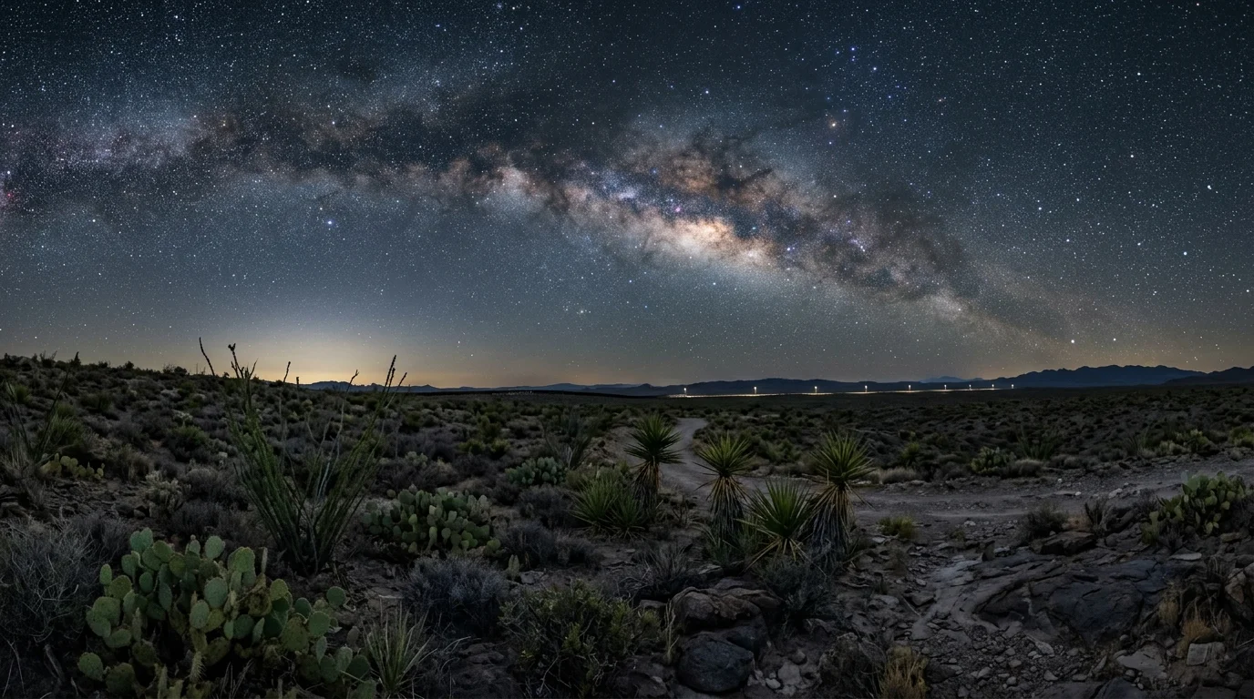
Border wall infrastructure silhouetted against the Milky Way over Big Bend's Chihuahuan Desert, illustrating the light pollution threat to the Bortle Class 1 dark sky reserve

Here is what to watch, and what you can actually do about it:

  • Check construction status before booking. If ground has broken by the time you are planning a trip, ask where the active segments are. A construction zone 40 miles from Big Bend National Park will not affect the view from Sotol Vista the same way a lit staging area 10 miles from the Chisos Basin would.
  • Moon phase still matters more than anything CBP builds in the short term. Even if a small light dome appears on the horizon, a new-moon night in a Bortle Class 2 or even Class 3 sky still outperforms a full-moon night in a Class 1 sky. Check the Big Bend stargazing forecast before you commit to dates.
  • Choose your spot with distance in mind. The more remote the overlook, the less any single light source on the border affects your sky. The park's stargazing page recommends finding a place away from developed areas for the best night-sky experience[5]. Construction zones 40 miles from any overlook have less impact than staging areas 10 miles from the Chisos Basin.
  • Book lodging inside the park for the deepest possible sky window. The in-park basin lodge sits at 5,400 feet[15] inside the park boundary, farther from the proposed wall route than any town-based lodging, and booking well ahead is the one practical hedge against a changing light environment.
  • Support dark-sky advocacy. The International Dark-Sky Association (now DarkSky International) tracks legislation and policy affecting certified reserves. Public comment periods, local government hearings, and organized letter-writing campaigns are the mechanisms by which dark-sky designations get defended, and they are more effective before construction starts than after.
  • Make the trip now while you know what the sky looks like. This is the honest advice. The sky at Big Bend National Park in mid-2026 is a known quantity, documented and measured across six decades. What it will be in 2029, after a 175-mile wall system with patrol roads, lighting, and fiber optic infrastructure has been built through the reserve, is not. If seeing a genuinely Bortle Class 1 sky in the continental United States is on your list, the window is open. It may not stay that way.
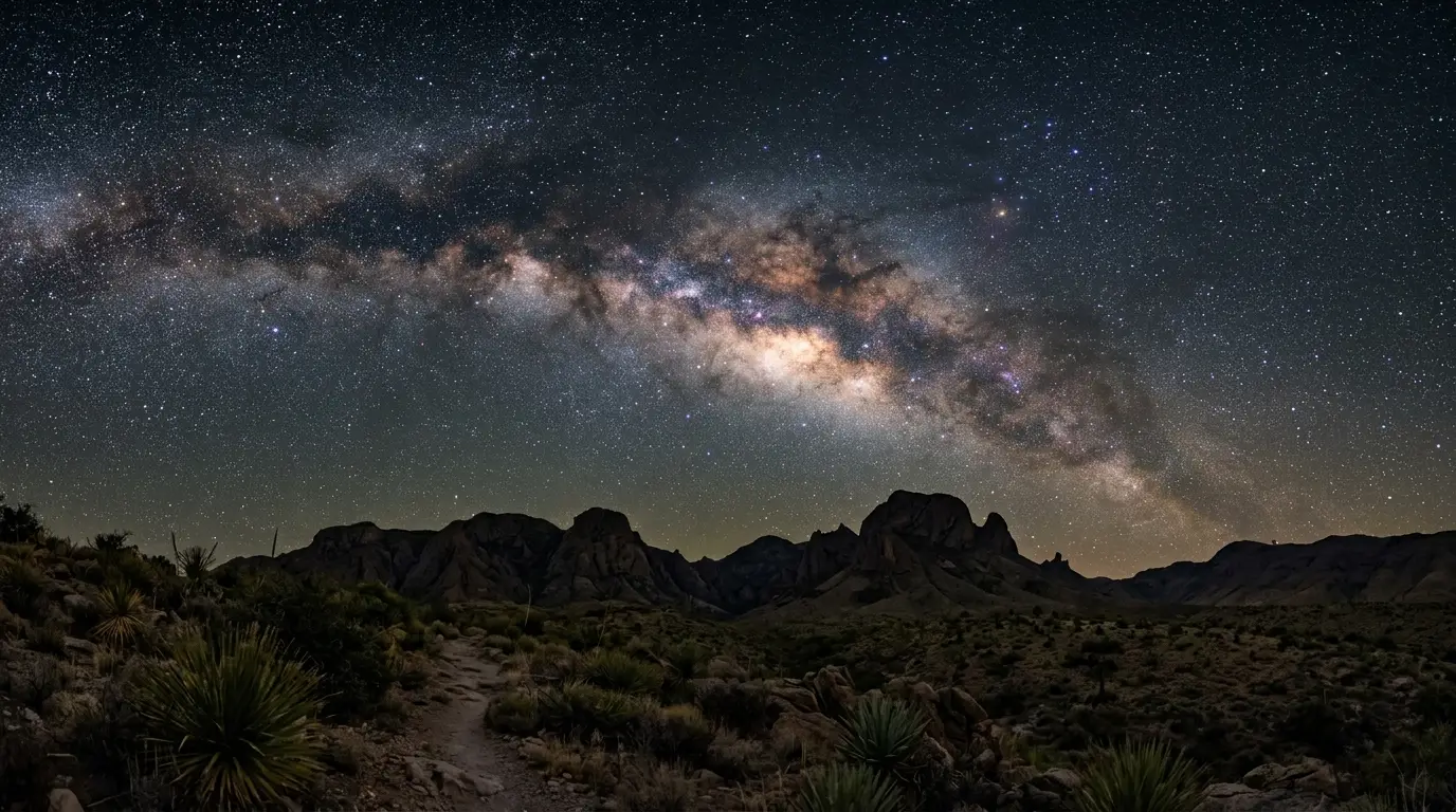
Milky Way over the Chisos Mountains in Big Bend National Park, a Bortle Class 1 dark-sky destination in West Texas

Featured · Destination

Big Bend National Park

Big Bend National Park is Bortle Class 1, the darkest sky rating in the US. An honest look at McDonald Observatory, when to go, and where to stay near it.