
A Gold Tier Sky Is Not a Promise for Tonight

Death Valley earned Gold Tier certification from DarkSky International, the organization's highest rating[1]. The desert backs that up with real numbers: over 300 clear nights a year on average, one of the highest rates anywhere in the continental United States[2]. On the darkest of those nights, skies near Furnace Creek regularly reach Bortle Class 2[3], dark enough that the Milky Way casts a visible shadow on the sand — the park's most remote back-country, away from any development, can reach an even darker Bortle Class 1[8]. Read those three facts side by side and they still describe two separate things, not one. A Gold Tier rating tells you the park's light pollution is close to zero. It says nothing about whether the sky over Furnace Creek is actually clear on the specific night you drove four hours to get there.

The desert location does most of the heavy lifting here. Death Valley gets very little rain, and clouds are rare, especially in the cooler months[4], which is close to what a high clearing index means in practice. That's still a seasonal average, not a promise for one particular Tuesday in March. Death Valley Stargazing covers what the Gold Tier certification itself requires and where inside the park to point a camera; this piece covers the part most trip-planning guides skip past, how to actually check, in the days and hours before a trip, whether the sky is going to cooperate. Three tools do that job, each answering a different question:

  • A specialized Clear Sky Chart built for Furnace Creek, showing cloud cover several days out
  • A standard National Weather Service point forecast for the park's own coordinates, useful same-day
  • The moon phase for your specific travel date, checked against the season

Reading Furnace Creek's Clear Sky Chart

The Clear Sky Chart is the single best short-range forecast tool for this park, and it isn't a generic site repurposed for astronomy. Furnace Creek's chart runs on a forecast model developed specifically for astronomers by Allan Rahill of the Canadian Meteorological Centre, the same model used at other Clear Sky Chart locations across North America[5]. Three rows carry the information that actually matters, each on a color scale running from dark blue to white:

  • Cloud Cover forecasts total cloud cover, dark blue for clear and white for overcast
  • Transparency measures water vapor in the air, which matters most for faint, low-contrast targets like galaxies and nebulae
  • Seeing measures atmospheric steadiness, the scintillation that blurs fine planetary detail at high magnification
A dark-blue Cloud Cover row on your travel date is the number worth checking first at a desert park like this one. Good transparency matters more if a faint nebula or a distant galaxy is the actual target; steady seeing matters more if a planet through a telescope is. A chart showing patchy, uneven cloud rather than a clean dark-blue band isn't automatically a reason to cancel a trip already booked. It's a reason to recheck the same page closer to the date, since a forecast built several days out narrows as the date approaches, the same way any weather model does.

3 forecast rows

Cloud Cover, Transparency, and Seeing, the three data rows on Furnace Creek's Clear Sky Chart, each color-coded from dark blue (best) to white (worst).

Cross-Checking the National Weather Service Forecast
The Clear Sky Chart covers several days out; it's still worth cross-checking against a standard National Weather Service point forecast built for Furnace Creek's own coordinates rather than the nearest town's[6]. Search weather.gov, enter those coordinates directly, and the forecast that comes back breaks sky cover down hour by hour instead of night by night, useful in the hours right before an actual drive out to Badwater Basin or Zabriskie Point.
That cross-check earns its keep most in summer, and for a real reason. Death Valley's own visitor-facing guidance about its night sky actually points to summer as one of the best stretches for stargazing here, warm evenings, typically clear air, and long stretches of dark sky[7]. The catch is that summer is also monsoon season for this stretch of the Mojave: the National Park Service's own weather guidance for the park documents isolated summer storm cells rolling through even in an otherwise dry season[4]. That's a real, recorded pattern, just not the reliable afternoon-clears-by-dark rhythm some plateau parks further east see, a monsoon cell here is more likely to be scattered and short-lived than a nightly guarantee either way. What holds up season to season instead is simple: check the same-day forecast for an isolated storm cell in summer the way you'd check it for storm clouds at higher elevations, and lean on the Clear Sky Chart's transparency row rather than the calendar alone.

Featured · Destination

Abisko Stargazing

Abisko's rain-shadow microclimate keeps skies clear when nearby Arctic spots cloud over. Aurora season, the Sky Station, ICEHOTEL, and getting there by train.

Timing a Visit Around the Moon

None of the above matters if the moon phase washes out the sky. Best time to stargaze in Death Valley covers which months favor the Milky Way core against the cooler season's calmer air in full detail; the piece worth adding here is the mechanics of checking moon phase for your actual travel dates against that seasonal picture.
A moon phase calendar or a basic stargazing app tells you, in seconds, how many nights of real darkness a given week offers. Pair that with the seasonal picture and the choice gets simple: a new moon in spring lines up with the Milky Way core's best position, while a new moon in the cooler October-through-April stretch trades a slightly lower core for calmer, more comfortable nights at the rail. When to stargaze walks through reading that calendar against a season and a weather forecast together, for Death Valley or any other dark-sky destination on this site.

Featured · Article

What Is Light Pollution? Definition, Types, and Solutions

Light pollution is artificial light brightening the night sky, affecting 80% of the world. Learn the 4 types, wildlife and health effects, and how to fix it.

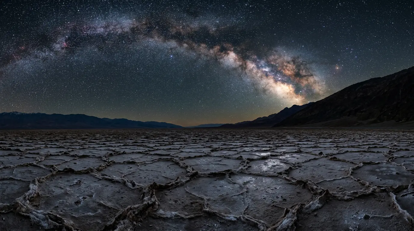
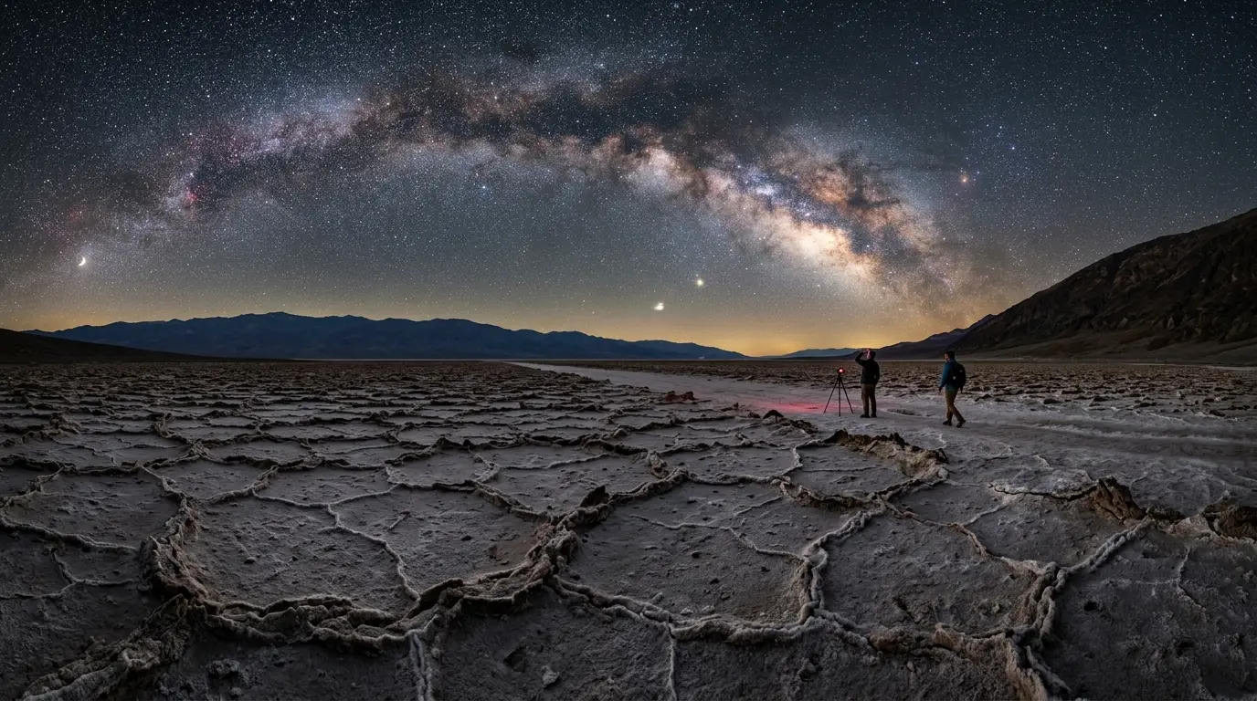
Star-filled night sky over Furnace Creek's salt flats in Death Valley, illustrating a clear Death Valley stargazing forecast with the Milky Way core rising above the valley floor

Star-filled night sky over Furnace Creek's salt flats in Death Valley, illustrating a clear Death Valley stargazing forecast with the Milky Way core rising above the valley floor

Three Forecasts, One Trip: Putting Them Together

Checking one of these three tools alone leaves a gap the other two exist to close. The Clear Sky Chart shows the shape of the sky several days out. The National Weather Service point forecast sharpens that picture down to the hour once a trip is within a day. The moon phase calendar tells you whether a clear sky will actually be a dark one. Run all three together and the picture that comes back is closer to what you'll actually see standing at Badwater Basin than any single check would give you.
In practice, that means three separate looks at three separate points before a trip: the Clear Sky Chart about a week out, to decide whether the trip is worth committing to at all; the moon-phase calendar as soon as travel dates are picked, since that variable doesn't change with the weather; and the NWS point forecast the morning of, to catch a hazy, humid summer evening or a rare storm the five-day outlook missed.
ToolWhat it tells youWhen to check it
Clear Sky ChartCloud cover, transparency, and seeing for the next few daysAbout a week before you travel
NWS point forecastHour-by-hour sky cover for Furnace Creek's coordinatesThe day of, or the morning before
Moon-phase calendarHow dark the sky will actually be once it's clearAs soon as you're choosing travel dates
The same three-tool habit carries to any dark-sky destination on this site, not only Death Valley. The specific chart and the specific forecast page change from park to park, but the sequence, seasonal or moon-phase planning first, a specialized astronomy forecast a week out, a standard point forecast the morning of, doesn't.

A Pre-Trip Forecast Checklist

Put the three tools into an actual sequence and a Death Valley stargazing trip stops being a guess:

  • Pick your travel window around a new moon, weighing Milky Way core season against calmer, cooler air, per the season-by-season guide linked above
  • Check the Clear Sky Chart about a week out to see whether the trip is worth the drive at all
  • Recheck the National Weather Service point forecast the morning you leave, especially in summer or if a rare storm is in the area
  • Carry more water than the trip seems to need regardless of season, and review dark sky etiquette and Stargazing Gear for Beginners before you go
None of this guarantees a clear night. A Gold Tier sky still sits under real weather, and Death Valley's high clearing index is a seasonal average, not a promise. What checking all three tools buys you instead is the difference between driving out on a hunch and driving out because three separate sources agree tonight is worth it. That's a better basis for a four-hour round trip than the calendar alone.