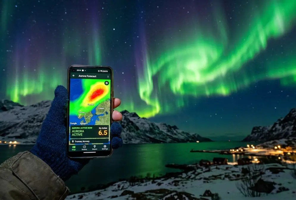
Most aurora forecast apps show the same five things, just packaged differently: a Kp index reading, the 0-9 scale for how disturbed Earth's magnetic field currently is; a visual auroral oval map; real-time solar wind data, especially the Bz component of the interplanetary magnetic field, one of the best short-term predictors of an active night; a cloud cover overlay for your exact location; and configurable push alerts. None of that overlay tells you how dark your actual viewing spot is to begin with — that's what the Bortle scale measures instead. None of that is proprietary. What separates a good app from a mediocre one is how it packages that data: whether the map updates fast enough, whether alerts respect your local darkness window, and whether the interface makes sense at 11pm in a parking lot with cold fingers.
Nearly every app on this list, with one exception, is repackaging the same small set of free government data feeds. The core one is NOAA's Space Weather Prediction Center, which runs the Aurora - 30 Minute Forecast, an OVATION-based map updated every five minutes that projects aurora location and intensity roughly 30 to 90 minutes ahead. OVATION, an empirical model built at Johns Hopkins University's Applied Physics Laboratory, runs on solar wind velocity and interplanetary magnetic field readings measured far upstream of Earth; when that upstream data drops out, the model falls back to an estimate driven by the current Kp reading instead. The one real exception is AuroraWatch UK, run by Lancaster University's Space and Planetary Physics group, which skips OVATION entirely in favor of ground-based magnetometer readings from the UK's SAMNET and AuroraWatchNet networks.
This guide ranks the five apps travelers actually use, from a plain likelihood score to the raw solar wind data behind it, on how well each one turns that same public feed into a decision you can act on at night.