
La Palma Airport (SPC): flights and connections
Most visitors reach La Palma the way they'd reach any Canary Island: by air. La Palma Airport (SPC) sits in the Breña Baja/Villa de Mazo municipality, roughly 8 km south of Santa Cruz de La Palma, the island's capital[1]. It's a small, straightforward airport: no long walks between gates, no confusing terminal transfers, just one building you can clear in twenty minutes on either end. A taxi rank sits just outside arrivals for the short run into Santa Cruz de La Palma, useful if you're not picking up a rental car until later in your trip.
As of 2026, roughly 20 to 25 destinations connect to SPC across scheduled and seasonal service, with Binter Canarias running the most frequent inter-island schedules[1]. The routes worth knowing:
- Both Tenerife airports (Los Rodeos/North and Reina Sofía/South), the busiest connection by far
- Gran Canaria (Las Palmas)
- Seasonal charters and low-cost links from mainland Spain, Germany, and the UK
20-25 destinations
For visitors from outside Spain, the near-universal routing is a connection through Tenerife or Gran Canaria first, usually a 30 to 40 minute hop on to SPC via Binter Canarias. There's no long-haul service direct to this island, and that's fine: it's a system built for island-hopping, not big-hub efficiency, so budget an extra hour of connection time on either end.
The ferry option: sailing in from Tenerife
A ferry is the other realistic way onto the island, and for anyone road-tripping the Canaries rather than flying between them, it's often the better one. Fred Olsen Express and Naviera Armas both run the crossing between Santa Cruz de La Palma and Los Cristianos, on Tenerife's south coast, with a journey time of roughly 2 hours 30 minutes to 3 hours 15 minutes, depending on the vessel and route[3].
The appeal isn't only avoiding a flight. Bring your own rental car across on the ferry and you skip a second rental-desk queue on arrival, useful if you're touring Tenerife Stargazing before continuing south. Book the crossing well ahead if a vehicle is coming with you in July or August; vehicle decks fill faster than passenger seating, and last-minute summer crossings routinely sell out of car spaces days in advance.
| Method | Typical time | Best for |
|---|---|---|
| Flight (SPC) | 30-40 min from Tenerife or Gran Canaria | Fastest, no vehicle to bring across |
| Ferry (Fred Olsen Express / Naviera Armas) | 2h30-3h15 from Los Cristianos | Bringing your own rental car, island-hopping road trips |
Car rental: effectively mandatory on this island
Public buses exist on La Palma, but treat them as a backup plan, not a strategy. Bus reliability is a known weak point on the island, with significant delays and unpredictable timing, and none of the routes that matter for stargazing, especially the summit road, are realistically served by scheduled transit at all. There's essentially no public transport running to Garafía or the observatory road itself, so a rental car is the only practical way up the mountain.
Rent a car and this stops being a problem. Availability is good, with major international and local companies at both the airport and the Port of Santa Cruz:
- Europcar (La Palma Airport)
- TopCar (airport and port)
- SIXT (inside the airport arrivals hall, operated in partnership with TopCar)
- Avis, Budget, and Hertz (airport locations)
Rent a car and this stops being a problem.
Pricing runs an average of $23 USD a day for a small car, with deals as low as $7 a day if you book early and travel outside peak weeks[4]. June is the cheapest month to rent, averaging around $17/day; December is the most expensive, closer to $74/day[4]. Book roughly three weeks ahead[4] for below-average pricing. Most fleets default to manual transmission, so request an automatic explicitly if you need one, and fill the tank before you leave the coast: petrol stations thin out fast once you're off the main roads, and there isn't one anywhere near the observatory.
Driving to Roque de los Muchachos: LP-20 to LP-1 to LP-4
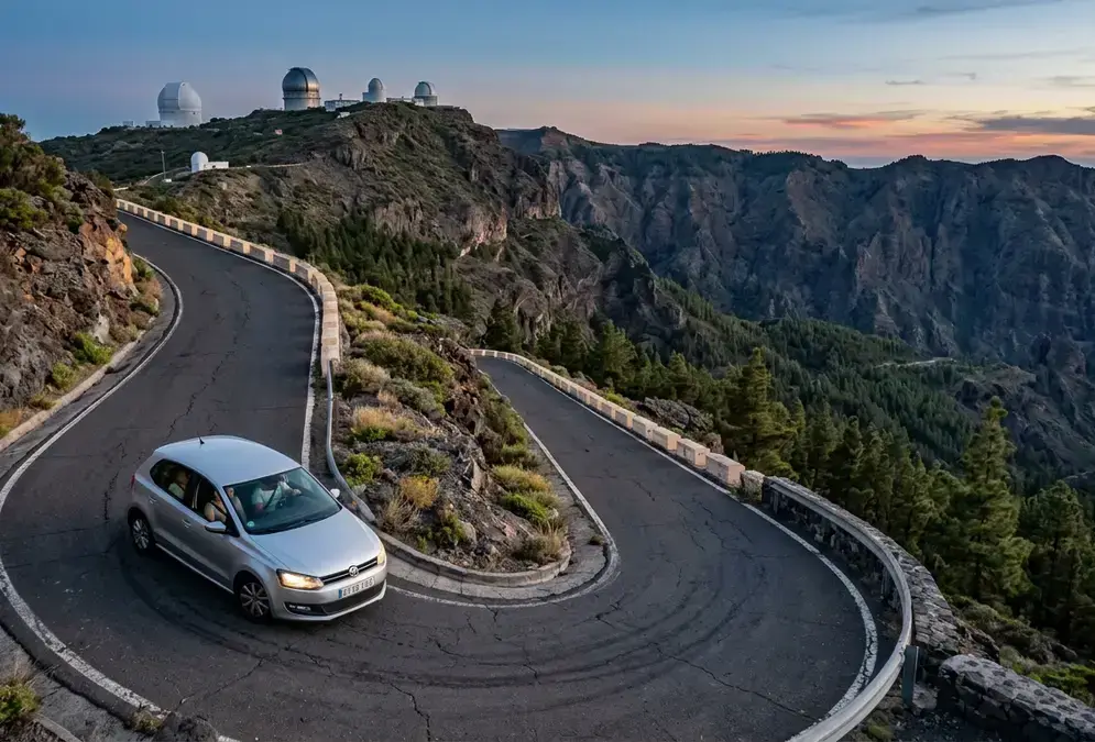
The observatory drive is the reason most stargazers come to La Palma in the first place, and it deserves a clear-headed briefing before you start the engine. From Santa Cruz de La Palma, the route runs LP-20, transitioning to LP-1 at the roundabout just past the tunnel, then onto LP-4, signed toward Roque de los Muchachos. Total distance is about 46 km, and total driving time runs close to 1 hour 45 minutes, on a fully paved mountain road with an average gradient of 7.28%, peaking at 12% on the final approach[5].
That final approach deserves its own paragraph. The last 3.8 km climbs 277 metres in elevation through numerous hairpin bends[5]. Expect the road to narrow considerably here, with real drop-offs at the edge and little margin for error. The earlier sections, through dense pine forest, are easier going: wide curves, good sightlines, a gentler grade. It's the summit stretch that demands full attention, not the drive as a whole.
Featured · Destination
La Palma Stargazing
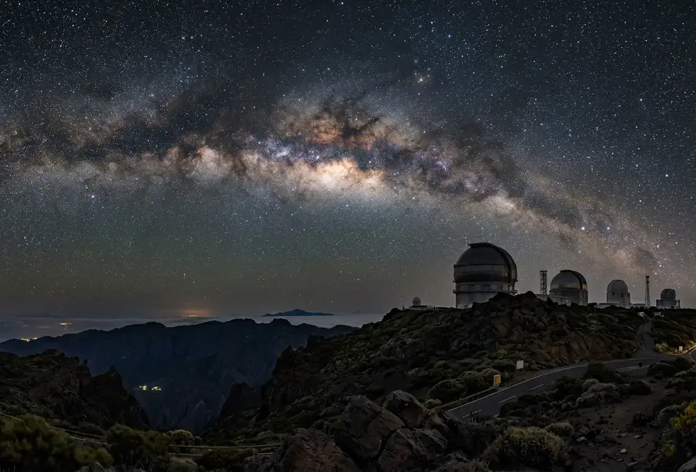
La Palma stargazing guide: the world's first Starlight Reserve since 2012, Bortle 1-2 skies above Roque de los Muchachos, plus where to stay and go year-round.
The observatory itself sits at 2,396 metres above sea level, on the rim of the Caldera de Taburiente[6]. On a clear day, you can see Tenerife, El Hierro, and La Gomera from several points along the ascent[7], the kind of view that turns the drive itself into part of the destination.
When to drive up: timing the ascent
Because the summit road closes to the public after dark, timing your ascent matters as much as the driving itself. Most day-trippers leave Santa Cruz de La Palma by early-to-mid afternoon, arrive at the observatory viewpoints with two or three hours of daylight to spare, and start the descent well before sunset. Staff and signage at the gate enforce the closure; arriving late in the hope of a quick look is a genuine way to get turned around partway up. If you want both the daytime views and a sunset from altitude, plan your descent to begin as the light starts to fade, not after it's gone.
Closed after dark: the rule every stargazer needs to know
Here's the detail that trips up more visitors than any hairpin bend: the final stretch of the road to Roque de los Muchachos is open during the day only. At night, it's closed to the public entirely[8].
This isn't a vague suggestion or a rarely-enforced guideline. The closure protects the observatory's own astronomical work, shielding the telescopes from headlights, vehicle vibration, and general light disturbance during observing hours. If your plan is to drive to the summit and park there for a night of stargazing under the observatory itself, that plan doesn't work. You need to be off the summit road, or already settled somewhere lower, before the gate closes at nightfall.
For stargazers, this changes the itinerary more than any other single fact in this guide. You don't drive to Roque de los Muchachos for your night session; you visit during daylight to see the telescopes and the view, then base your actual stargazing lower on the mountain, at a viewpoint, lodge, or dark-sky site that stays open after dark. Standing near the gate as the light fades, you can watch the shift happen firsthand: staff turning back the last cars, headlights looping down through the switchbacks while the summit itself goes quiet and dark for the telescopes. Fog, cloud, and even snow can compound the problem in shoulder-season months, cutting visibility on the same narrow bends described above. Once you're clear on where you'll actually be standing after dark, When to Stargaze covers how to pick nights that also avoid a bright moon.
Getting around once you're on the island
Roads across La Palma are in good condition generally, better than the summit road's reputation might suggest. Away from the observatory approach, most routes are wide, well-signed, and comfortable in a standard rental car. You don't need four-wheel drive or a high-clearance vehicle unless you're headed somewhere specifically off-road. Spain drives on the right, same as the mainland, so the biggest adjustment for most visitors isn't the side of the road but the sheer number of switchbacks once you leave the coastal ring road. The island is small enough that a full coast-to-coast loop rarely takes more than half a day, once you're not detouring up to the summit.
A few practical notes for the rest of your trip:
- Fuel up before you leave the coast. Petrol stations cluster around Santa Cruz de La Palma, Los Llanos, and the larger towns; the mountain interior has none.
- Time your summit visit for daylight, given the night closure above, and plan your actual stargazing session from a lower-altitude spot instead.
- Book your rental car alongside your flight or ferry, not after you land. Peak-season demand at the airport counter can outstrip supply.
- Check current road status before driving up in winter. Fog and occasional snow can close or slow the final approach with little warning.
Where you stay shapes how much of this driving you actually do. The Best Places to Stay on La Palma for Stargazing guide ranks lodging by proximity to the cloud-inversion line, and Best Stargazing Spots on La Palma covers where to set up once you're not relying on the summit road at all. For the fuller picture of what makes this island's skies worth the drive, see La Palma Stargazing.