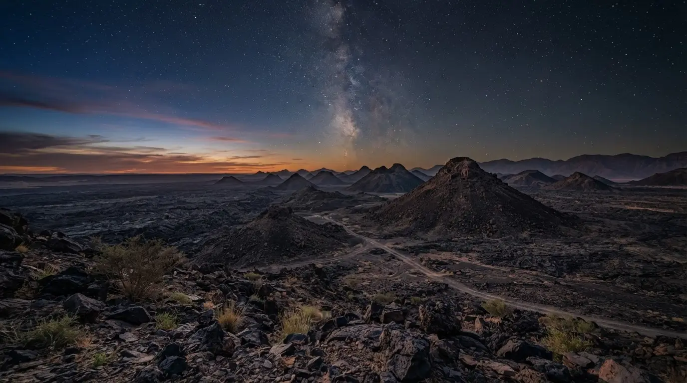

Where Harrat Uwayrid sits, and what a harrat is
A harrat is an Arabic term for a lava field, and western Saudi Arabia has a chain of them. Harrat 'Uwayrid lies in the northwest of the country along the old Bedouin pilgrim route to Syria, and it carries young basaltic scoria and tuff cones with lava fields around them[5].
The catalogue measures it at about 125 km, northwest to southeast, and calls it contiguous with Harrat Rahat[6]. Other summaries of the same data give a longer field, so treat any single length as approximate. The catalogue places it south of Tabuk[7], while AlUla's own materials say west of AlUla[8]. I would not trust a drive time from either description.
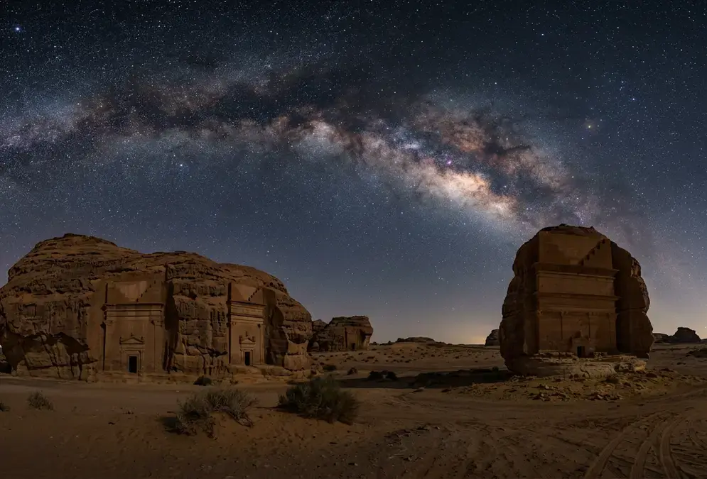
Featured · Destination
AlUla Stargazing
Stargaze above Hegra's 2,000-year-old Nabataean tombs in AlUla, the Gulf's first DarkSky-accredited Dark Sky Park. When to go, where to stay, and how to plan.
I found no sourced access details for the field itself. For where people actually go after dark, start with AlUla stargazing.
The Bedouin legend of Hala-'l-Bedr
The catalogue's wording is short: "Bedouin legends say that Hala-'l-Bedr erupted fire and stones, killing herdsmen and their cattle and sheep."[9] Hala-'l-Bedr is one of two names the catalogue offers for the source of the 640 CE event.
That is the whole legend as I found it. No tribe, no named herdsman, no retelling with a date. I looked for a primary oral-history collection and did not find one; what turned up were catalogue entries and tour pages paraphrasing them. A legend with that thin a paper trail is folklore in the catalogue's own words, and it is not evidence of when anything erupted.
The quoted line never mentions AlUla either. Pairing the legend with AlUla's stargazing zones is a modern move, made because the field sits west of the town in AlUla's own telling.
What the record says about a 640 CE eruption
Three kinds of record disagree, and the honest reading is that both the date and the vent are unsettled. Nobody has shown that Harrat Uwayrid erupted in 640 CE.
I read that as nobody having pinned the event down, not as the field being quiet. Anyone selling "640 CE at Harrat Uwayrid" as plain fact is rounding up. Here is each record in turn, and for a volcanic dark-sky site where the geology is the story from the first paragraph, Iceland's Thingvellir argues the same discipline about what lava does and does not explain.
The catalogue entry
The Smithsonian-derived entry lists an eruption of about 640 CE at Harrat 'Uwayrid, from Hala-'l-Bedr, Hala-'l-'Ischia or both[1]. In the same entry it says others place the event in Harrat Rahat, immediately south of Medina, where young lava flows are present[2]. A VolcanoDB page built on the same data also states that no historical eruptions have been recorded for the field[10]. A record that carries both an eruption and a denial is holding its date loosely.
The Medina problem
NASA's Earth Observatory describes the 1256 CE flow near Medina as the youngest in Saudi Arabia and says an earlier eruption in 641 A.D. made the finger-like flows east of it[11]. Harrat Rahat holds more than 500 volcanoes across 20,000 km²[12], so there is plenty of young rock to argue over. USGS calls 1256 CE the most recent eruption of the field[13].
Then the 2019 USGS and Saudi Geological Survey map complicated the 641 story. It found that a cluster of cinder cones and small lava flows on the western outskirts of Medina, previously ascribed to 641 CE, is 13.3±1.9 ka[3]. That is roughly ten times older than a 641 CE eruption would make them. Its short Holocene list is the sharper rebuke to the legend: one entry is the documented 1256 CE flow, the other a trachyte dome at Um Rgaibah with a wide 4.2±5.2 ka error bar, and the Um Rgaibah error bar is wider than the date itself, so it can neither confirm nor exclude 641 CE[14]. I cannot reconcile NASA's 641 attribution with that re-dating from the published pages, and I would not try.
Khaybar as a rival candidate
Harrat Khaybar is the other name in the frame. The same Smithsonian-derived data reports an eruption there in early Islamic times, in the 7th century CE[15], and a USGS paper dates two of its centres, Jabal Aluthmor and Jabal Qidr, to as recently as about 2,000 and 760 years ago[16]. That makes Khaybar young. It does not make it the answer: neither age lands on 640 CE, and I found no source tying either dated centre to the event.
What a lava field is good for after dark
Take the sourced stargazing claim first. Per the independent measurements made for AlUla's dark-sky certification, as reported by Breaking Travel News, its sky ranks in the top 5% globally[4]. That is a figure for AlUla as a whole, and I have not seen a published sky-brightness reading for the harrat itself, so I will not invent one.
No measurement I found shows dark rock darkening a sky. Distance from lights is what counts, which is the point Thingvellir's coverage makes about lava fields in Iceland. My inference, not a sourced fact: what a harrat adds is open ground, with little tall to block a low horizon. I have not been to AlUla, so I cannot say how that feels at night.
One moon-sighting detail belongs here. Local oral accounts name Harrat 'Uwayrid as a possible place the community's moon sighter worked from, a spot needing a clear western horizon[8].
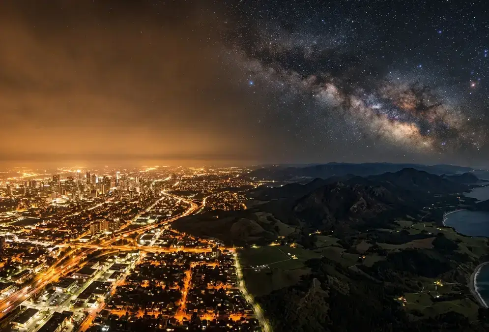
Featured · Article
What Is Light Pollution? Definition, Types, and Solutions
Light pollution is artificial light brightening the night sky, affecting 80% of the world. Learn the 4 types, wildlife and health effects, and how to fix it.
For the places people actually stand after dark, read the best stargazing spots in AlUla. For timing, the best time to stargaze in AlUla comes first.
How I would use this on a trip
Book the sky, not the volcano. If an operator sells a stop on the harrat, ask:
- Which part of the field is the stop on, given that sources disagree on its extent and position?
- Where does the 640 CE claim come from, and do they call it a legend or a fact?
- What does the stop look like with the lights off, since an AlUla-wide figure says nothing about one car park?
I could not source access rules, opening hours or a drive time for any stop on the field, so I have left them out. Check AlUla's official channels, and see getting to AlUla for the flight and transfer side.
My verdict: the legend is a good five-minute story and a poor reason to pick a site. If you only have one night, spend it somewhere with a measured sky, and treat the harrat as the footnote it is.