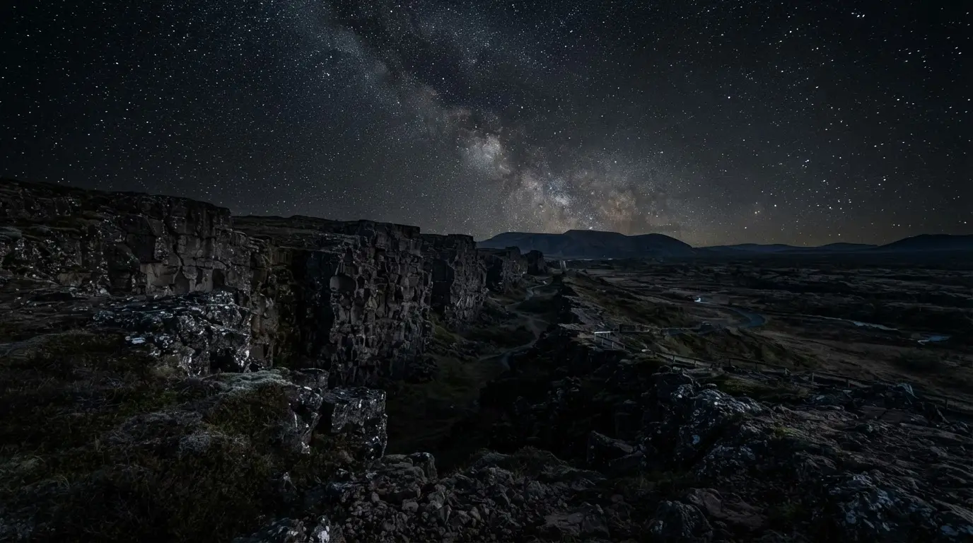

The rift valley Þingvellir sits inside
This is the surface trace of the boundary between the North American and Eurasian tectonic plates, part of the Mid-Atlantic Ridge that runs the length of the Atlantic seafloor. Few places on Earth let you stand on that boundary rather than infer it from a map.
Þingvellir's valley floor is itself a graben: a strip of crust, roughly seven kilometres wide, that has dropped between the Almannagjá and Heiðargjá faults and now lies buried under lava that flowed some 10,000 years ago[1].
Mountains close off three sides of the valley; between them, fields of grass-grown lava fill the gaps, and Lake Þingvallavatn closes the fourth side, to the south[2].
Iceland's national assembly, the Alþingi, first met on this valley floor in 930. Since then, it has dropped roughly 3 to 4 metres, and the ground here hasn't finished moving[3].
The volcanic engine behind Iceland's landscape
Iceland exists at all because of more than plate spreading. Its mantle plume outproduces the ridge that runs beneath it: geologists credit the plume with roughly twice the volcanic output of the Mid-Atlantic Ridge itself, and the belt of active volcanoes tracks the plume rather than the ridge line[4].
Outside the rift, Iceland's plates spread at a genuinely unhurried pace: about two centimetres a year. Inside the rift itself, that motion doesn't creep — strain builds for years and releases in short bursts once the crust reaches its breaking point[5].
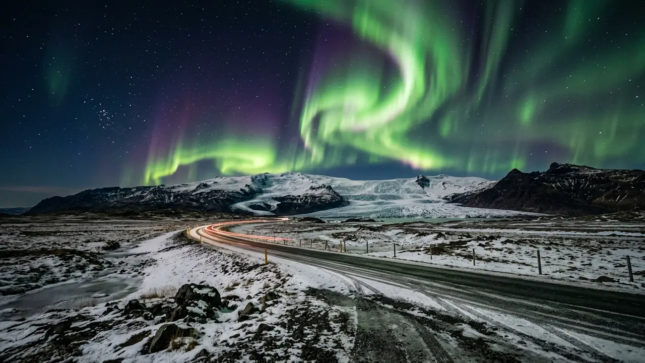
Featured · Destination
Northern Lights in Iceland
Iceland's whole-country aurora guide: best regions to base in, aurora season Sep–Mar, ice caves, winter driving reality, and where cloud cover ends every plan.
In the 10,000 years since that lava cooled, the ground beneath it has sunk about 40 metres while the rift itself has pulled apart by roughly 70[6].
Iceland counts thirty active volcanic systems today; Hekla, one of the most closely watched, sits well outside Þingvellir[7].
Þingvellir became a UNESCO World Heritage Site in 2004[8]. A joint nomination that would add the Mid-Atlantic Ridge's geology to a future listing, alongside sites such as the Azores' Pico Island, has been discussed but never filed, meaning the rift's geology itself isn't yet part of what UNESCO formally recognizes here[9].
For a very different lava field, Harrat Uwayrid near AlUla shows how folklore and the geological record can part ways.
How dark Iceland's sky actually gets, and why it's not the lava
In Iceland's least polluted rural areas, measured sky brightness passes 21 magnitudes per square arcsecond, dark enough that an estimated 2,000 to 2,500 stars become visible to the naked eye[10]. That reading describes rural Iceland generally, not a confirmed number for Þingvellir itself.
Reykjavík, by comparison, measured about magnitude 18 ±0.5 per square arcsecond around 2010 — bright enough to cut naked-eye star counts to roughly a tenth of what the darkest rural sites show[11].
It's tempting to credit the black lava and thin vegetation directly, the same way pale snow is known to amplify skyglow in reverse. No measurement in the record isolates that effect here.
What is measured is how thinly populated the country is outside the capital region, which does far more to explain why the dark holds once you're away from Reykjavík's glow.
For context on how that scale works, see our guide to the Bortle scale; for the mechanics of why artificial light spreads the way it does, see what is light pollution.
No dark-sky certification, and why that's a different question
DarkSky International's Reserve designation, one of several formal categories, requires a protected core zone of exceptional sky quality plus a peripheral zone, built through a partnership of multiple land managers committed to long-term dark-sky policy[14].
The organization recognizes several designation types:
- Dark Sky Reserve
- Dark Sky Park
- Dark Sky Sanctuary
- Dark Sky Community
- Urban Night Sky Place
As far as DarkSky International's own public list shows, no site in Iceland currently holds any of them.
That gap isn't for lack of trying. A geographer at Nes Observatory mapped skyglow over Þingvellir specifically because park rangers wanted to know whether it could qualify[12]. The results showed the park's sky measurably affected by Reykjavík's glow and nearby power plants[13].
If a formal designation matters for your trip, the world's best dark-sky parks guide lists current status before you book.
Seeing Þingvellir's sky for yourself
Reykjavík is close: Þingvellir lies roughly 40 kilometres, about 25 miles, to the northeast, well within the Golden Circle loop most visitors already drive[15].
If you're staying nearby, the ION Adventure Hotel sits a short drive from the park and is one of the few properties built with stargazing in mind this close to the capital's glow.
This piece is about why the dark exists here, not where else to look for it. For a broader shortlist of viewing spots across the country, see the best places to see the northern lights guide.
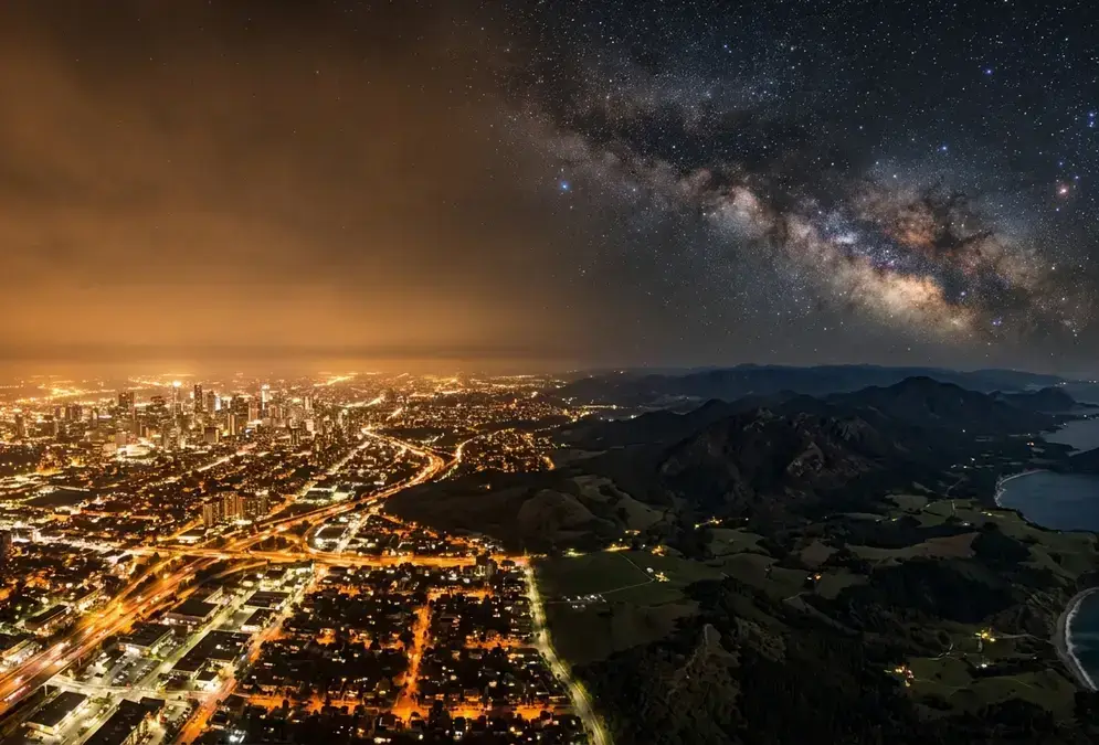
Featured · Article
What Is Light Pollution? Definition, Types, and Solutions
Light pollution is artificial light brightening the night sky, affecting 80% of the world. Learn the 4 types, wildlife and health effects, and how to fix it.
Either way, check the Iceland aurora destination guide for season and moon-phase notes before committing a night to it.