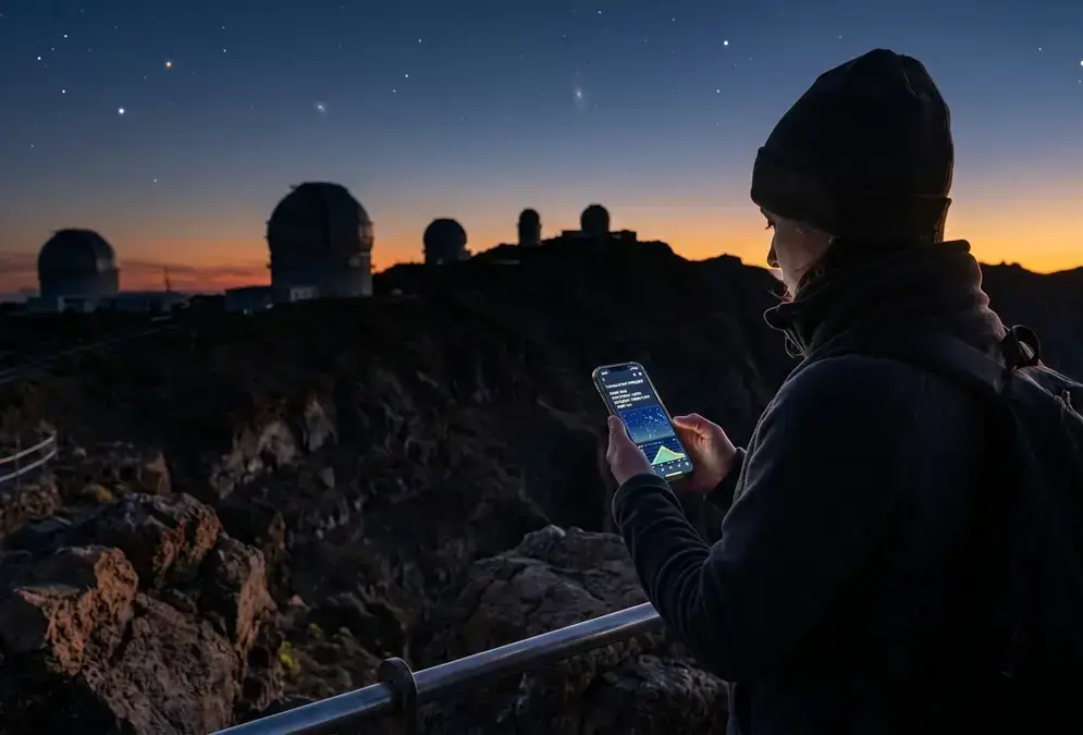

Why there's no single La Palma stargazing forecast app
Type "La Palma stargazing forecast" into a search bar and you'll find generic weather apps, astronomy sites built for nowhere in particular, and a scattering of blog posts, but no single tool built to answer the question a stargazer actually has: will the sky above Roque de los Muchachos be clear, dust-free, and steady enough to see something worth the drive. That's not an oversight. The question splits into three separate physical problems, and no consumer app solves all three at once.
The first is ordinary cloud cover, the kind any weather app tracks, complicated on La Palma by a sharp Atlantic trade-wind inversion that keeps the observatory ridge, at roughly 2,400 metres,[1] clear even when the coast sits under cloud. The second is calima, the Saharan dust haze that can leave a technically cloud-free sky milky and starless. The third is seeing, the atmospheric turbulence that blurs fine detail through a telescope even on a night that looks perfectly clear to the naked eye. Cloud, dust, and turbulence are three different physical processes, tracked by three different kinds of instrument.
This guide walks through the tools that actually cover each one, roughly in the order most people will want to check them before a La Palma Stargazing trip: a general weather baseline, the observatory's own webcam and forecast hub, an independent dust tracker, and two astronomy-specific sites that fill in the gaps.
Start with the general baseline: AEMET's municipal forecast
AEMET, Spain's State Meteorological Agency, is the obvious first stop, and the obvious caveat comes with it. AEMET publishes both a 7-day and an hourly 48-hour forecast table for Garafía, the municipality that contains the observatory, generated for the municipal capital, Santo Domingo, at 387 metres.[1] That sounds like exactly what you need until you notice where the numbers actually come from. Canary Islands orography is complex enough that AEMET builds its municipal forecasts around the capital, not every point inside the municipality, and the observatory ridge sits at roughly 2,400 metres, more than two kilometres higher, in a different microclimate entirely.[1]
Treat the Garafía forecast as a trend indicator, not a summit reading. A week of consistent cloud in the AEMET table is a real warning sign; a single "partly cloudy" day tells you almost nothing about conditions 2,000 metres higher.[1] A useful cross-check is AEMET's separate forecast for Santa Cruz de la Palma, the coastal capital.[2] Comparing the two side by side gives you a rough sense of how sharp the island's cloud-sea split is on a given day, since the terrain tends to produce a genuine divide between what the coast sees and what the summit gets, rather than a gradual blend.
387 m
None of this is unique to La Palma. It's the same reason a municipal weather app gets Teide's summit wrong on Tenerife: mountain forecasting built from sea-level station data is a known blind spot, and the fix is always the same, go closer to the source.
Go straight to the source: the IAC's own observatory hub
The Instituto de Astrofísica de Canarias (IAC), which co-runs the observatory, publishes its own weather page for Roque de los Muchachos, and it's the closest thing to an official "current conditions at the summit" hub available to the public. The page aggregates live weather-station data and webcam links from the individual telescopes on site, including:
- GTC (Gran Telescopio Canarias)
- Liverpool Telescope
- LST
- NOT (Nordic Optical Telescope)
- Mercator
- TNG
- Warwick
- MAGIC-I and MAGIC-II[3]
The most useful of these for a same-night check is the GTC webcam, which refreshes roughly every minute[4], about as close to a live look at dome and sky conditions as the public gets. The MAGIC telescope site runs its own separate webcam feed[5], and the Isaac Newton Group (ING), a different operator at ORM, publishes a real-time weather and observing-conditions page used operationally by its own observing astronomers[6], a good sanity check against whatever the IAC hub shows.
Beyond the webcams, the IAC's Sky Quality Team runs a genuinely specialist product: ForO (Forecasting the Observatories), a 72-hour forecast built on the WRF numerical weather model that estimates precipitable water vapor, seeing, coherence time (tau0), the isoplanatic angle (theta0), and the CN2 turbulence profile. That's a real astronomical seeing forecast, not a rebadged cloud app, and it's the most technical tool on this list. It's also the one to use with the most caution. Several of the specialized optical parameters on the ForO page are labelled, in the IAC's own words:
“In test. Under validation.[7]”
The dust cloud forecasts miss: tracking calima
A perfectly cloud-free sky on La Palma can still be a bad night for stargazing, and the reason is calima: a haze of wind-blown Saharan dust that periodically drifts over the Atlantic and settles across the Canary Islands. Calima doesn't register as "cloud" in most forecasts, because technically it isn't cloud. A weather app happily reporting 0% cloud cover can still describe a sky hazy enough to wash out the Milky Way's dust lanes and dim everything but the brightest stars.
Calima Canarias, an independent forecasting service, is built specifically to track it. The site aggregates open data from AEMET, the Copernicus Atmosphere Monitoring Service (CAMS), Open-Meteo, and the Gobierno de Canarias, and runs the SKIRON dust-transport model, updated every six hours, across 25 locations in the islands with a five-day forecast window.[8] It's the closest thing to a purpose-built calima tracker available to the public, and it belongs in your bookmarks next to whatever cloud forecast you're already using.
Timing matters here more than almost anywhere else in this guide. Calima episodes typically run 3 to 5 days once they start, not the single bad afternoon you might expect from a passing weather front, and they cluster heavily in December and February, the two riskiest months, though isolated episodes can occur in other winter months too.[9] If your trip falls in that window, check Calima Canarias a few days out rather than assuming a clear-sky forecast is the whole story. A technically cloudless night during an active calima episode can still be one of the worst nights of the year for transparency. See Best Time for Stargazing in La Palma for how calima risk actually shifts month by month across the year.
Two more specialist forecasts worth bookmarking
Two more tools round out the kit, and both are astronomy-specific rather than general-purpose weather sites.
meteoblue publishes an Astronomy Seeing forecast page built specifically for La Palma Island, not just a generic set of coordinates dropped onto a template. It rates expected seeing on a 1 (poor) to 5 (excellent) index, alongside cloud-cover percentages, jet-stream wind speed (higher generally means worse seeing), temperature-gradient layers, and the night's planetary positions for Venus, Mars, Jupiter, Saturn, Uranus, Neptune, and Pluto, plus moon phase and rise and set times; the free version covers a 3-day preview, while the full 7-day forecast sits behind meteoblue's paid "point+" tier.[10]
Recommended tours
Tours are selected for quality, not commission. I earn a small fee if you book — at no extra cost to you.
ClearOutside, sometimes called the Clear Sky Chart, is the generic option on this list, built by and for astronomers rather than for any single site, returning moon brightness, cloud cover broken down by altitude layer, precipitation probability, temperature, wind, dew point, and even ISS pass times for whatever coordinates you enter.[11] It's widely recommended in astronomy forums precisely because it works anywhere, but that generality is also its weakness here. A coordinate-based tool built for average terrain can lag behind a genuinely complex mountain's microclimate, so treat ClearOutside as a useful supplementary cross-check against the La Palma-specific tools above, not as the final word on Roque de los Muchachos itself.
The table below lines up all six tools by what they actually track, so you can decide which one to open first.
| Tool | What it tracks | Best for | Caveat |
|---|---|---|---|
| AEMET Garafía | General cloud cover, temperature | A week-out trend check | Forecast is for Santo Domingo (387 m), not the 2,400 m summit |
| IAC ORM weather hub | Live webcams and station data | Same-night visual check | Webcams show current conditions, not a forecast |
| IAC ForO | Seeing, coherence time, water vapor | 72-hour technical seeing forecast | Several optical parameters still under validation |
| Calima Canarias | Saharan dust (calima) | Dust-specific risk, 5-day | Doesn't forecast cloud cover |
| meteoblue Astronomy Seeing | Seeing index, cloud, planets | La Palma-specific seeing snapshot | Full 7-day forecast is a paid tier |
| ClearOutside | Cloud by altitude, moon, dew point | Generic supplementary cross-check | Not tuned for complex mountain terrain |
Putting it together: a practical pre-trip checklist
No single tool above is enough on its own, but stacked in the right order, they cover the three problems from the start of this guide: cloud, dust, and turbulence. Here's a routine that works for most trip windows:
- 5+ days out: check the AEMET Garafía trend and Calima Canarias' 5-day dust outlook together. If both look clean, book the rest of your logistics with reasonable confidence.
- 3 days out: switch to meteoblue's Astronomy Seeing page and the IAC's ForO forecast for a more technical read on seeing conditions, treating the optical parameters as indicative rather than final.
- The afternoon before: check ClearOutside's cloud-by-altitude breakdown as a cross-check, and glance at the IAC ORM webcam hub to see what the summit actually looks like right now.
- Driving day: refresh the GTC and MAGIC webcams once more before you commit to the drive up. Conditions above 2,000 metres[1] can shift faster than any 72-hour model captures.
None of this guarantees a perfect night. Even the observatory's own operators publish clear-night and photometric-night statistics that make the honest point plainly: this is good odds, not certainties. Build in a buffer night if the trip is built entirely around stargazing — and if you're weighing a single overnight against a longer stay, the La Palma day-trip stargazing verdict covers whether that buffer is even realistic on a short visit. If you'd rather have someone else read the sky for you, this guided evening excursion runs on nights the operator judges worth going out, which takes the forecast-reading off your plate entirely.
Featured · Destination
La Palma Stargazing
La Palma stargazing guide: the world's first Starlight Reserve since 2012, Bortle 1-2 skies above Roque de los Muchachos, plus where to stay and go year-round.