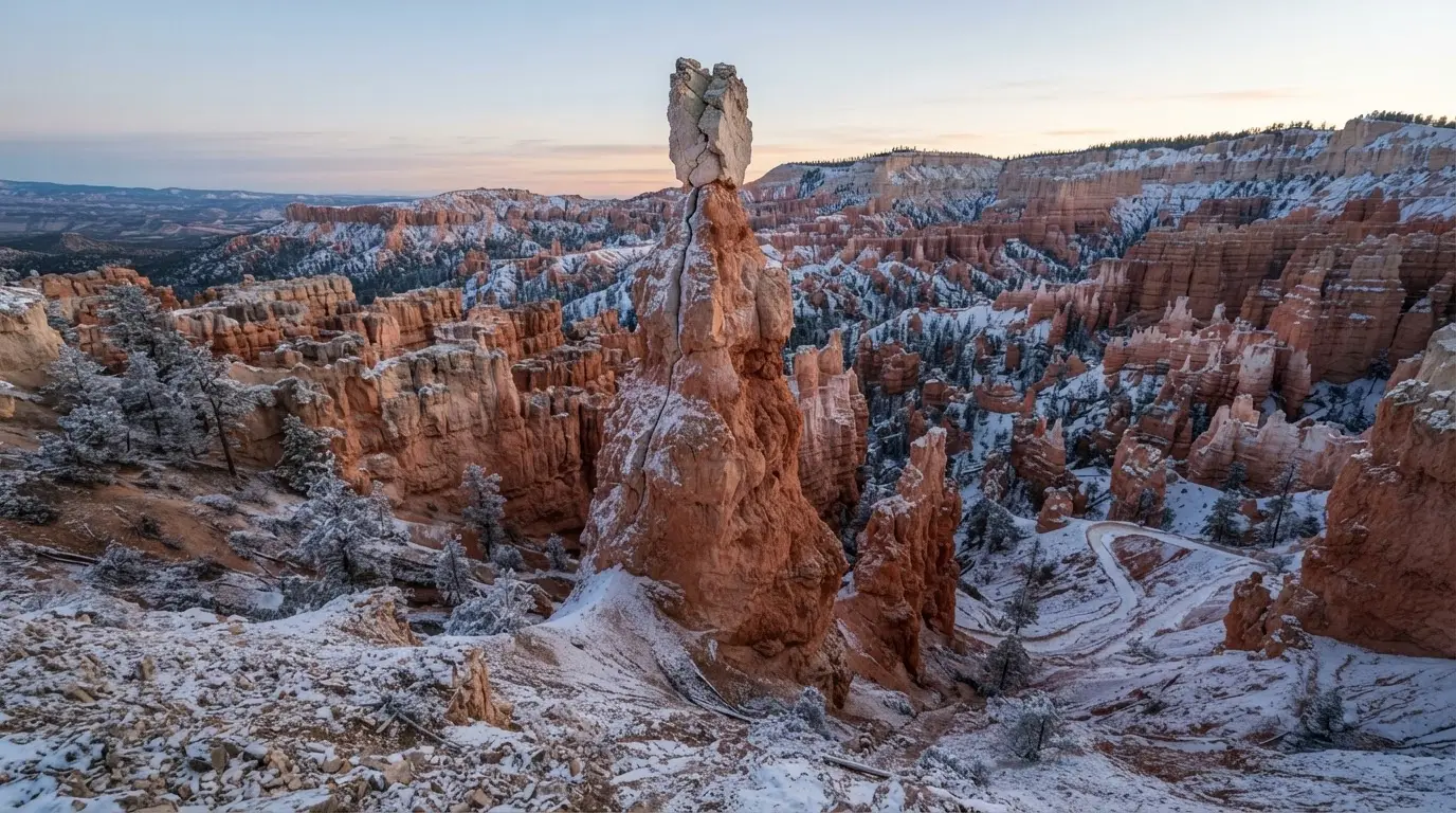

What fell, most likely on November 25, 2016
The Sentinel was a tall, narrow hoodoo on the Navajo Loop Trail,[4] and on a Friday evening in late November 2016 its top came off. Park officials could not name the hour. Photos taken by visitors seem to place it on the evening of Friday, November 25.[2]
What came down was about 15 feet of spire, broken at a point only 2 feet in diameter.[1] That is a thin neck for that much stone, and it frames everything that follows: the collapse was not a landslide of a hillside but the failure of one slender column.
Rangers could not find the debris at first, because of snowfall.[5] Winter had arrived.
The Sentinel stood above the Navajo Loop, one of the park's marquee things to do in Bryce Canyon beyond stargazing. Its name came from its shape, and the park's own ranger put that shape into words.
“As its name implied, it appeared like a sentry or protector of the peace gazing to the east, and was a familiar and trusted form along the horizon.[6]”
Frost wedging: how ice splits a hoodoo apart
At 8,000 feet, Bryce's nightly temperatures fall below freezing for half of the year.[7] That matters because the cliffs are full of cracks. Snowmelt and rain run into them by day and freeze by night, and the ice, which takes up more room than the water did, pushes the crack a little wider. Geologists call this frost wedging.
Park officials attributed the Sentinel's fall to freezing.[8] The geometry makes the verdict easy to believe: a neck only 2 feet across carrying 15 feet of stone has little margin, and each freeze takes some of it.[1]
How many cycles a year the rim goes through is harder to pin down, because the official counts use different units:
- Park officials, speaking after the collapse: 200-plus days of freeze-thaw cycles each year[3]
- USGS: roughly 200 days a year with temperatures both above and below freezing[9]
- NPS hoodoo explainer: over 170 nights a year with temperatures above and below freezing[10]
- NPS wayside at the rim: nightly temperatures below freezing for half of the year[7]
The gap is probably one of definition, days against nights and full cycles against freezing lows. All four describe a rim that crosses the freezing line on roughly half the days or nights of the year.
For anyone planning a cold-weather night, that is the number to carry. The Bryce Canyon winter stargazing packing list starts from those same sub-freezing hours.
Thirty years of warning, then one evening
The Sentinel had shed stone before. In July 1986 a paddle-like section crumbled and was found on the trail below.[11] The 2016 failure was at least the second time in just over thirty years that the spire lost a large piece.
Park officials have a one-line description of the pattern: a hoodoo's life tends to be gradual formation and sudden demise.[12] The Sentinel fits it twice, first as a paddle in 1986 and then as the whole top in 2016. Officials also noted that other signature formations in the park change over time.[8]
The park made the loss visible with a side-by-side comparison of the formation before and after the collapse, posted online.[13] Set the two images side by side. The Sentinel reads as a different landmark, a spire with a head turned into a stump.
I'd draw one conclusion the park does not: a landmark with a documented fracture history is a landmark on a clock. If a named spire is the reason for your trip, go and look at it while it is standing.
The rock behind the collapse, and how fast the rim retreats
The spires are cut from the Claron Formation, a rock made primarily of limestone laid down about 50 million years ago in a large freshwater lake that geologists call Lake Claron.[14] Limestone is soluble and brittle, and Bryce exercises both traits every year.
The usual figure belongs to the plateau, not to any spire. Rain and melting snow erode the edge of the high plateau at one to four feet every century.[15]
Put that beside the Sentinel and the mismatch is the point. A rim that gives up a few feet in a hundred years can still lose 15 feet of a single spire in one evening.[1] A slow average and a sudden event are not in conflict. The average hides the events.
What the Sentinel's fall means for a Bryce trip
The park's most famous hoodoo, Thor's Hammer, stands nearly directly below Sunset Point.[16] The Sentinel's loss is a fair argument for seeing it sooner. Treat the hoodoos as a changing exhibit, not a fixed one.
Night changes little about that risk. It changes a lot about what you can see. Bryce is a certified International Dark Sky Park,[17] and the park credits its high elevation, clean air and remote location for some of the darkest skies in the country.[18] The Bryce Canyon dark sky certification piece explains what that designation measures.
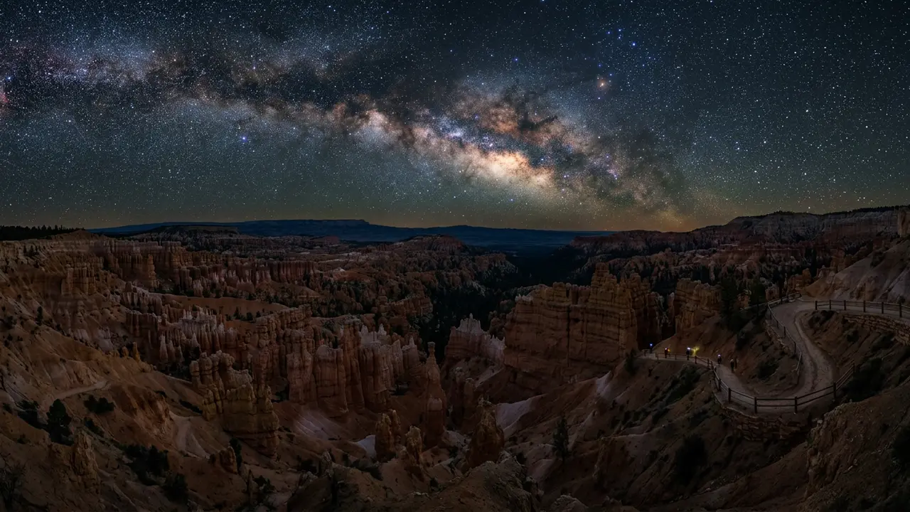
Featured · Destination
Stargazing in Bryce Canyon National Park
Bryce Canyon earned Gold-Tier Dark Sky Park status in 2019 after 50 years of astronomy programs. Drive in from Vegas or Salt Lake City to see it for yourself.
If you want the rim in daylight and in the dark, plan both into one stay. The Bryce Canyon stargazing page covers the night side of the park.
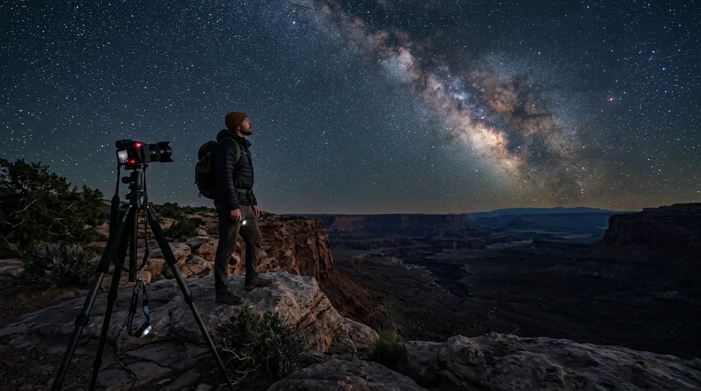
Featured · Article
What Is Astrotourism? The Complete Beginner's Guide
Astrotourism means travel built around dark skies: meteor showers, auroras, the Milky Way. What it means, where to go, and how to plan your first trip.
Recommended tours
Tours are selected for quality, not commission. I earn a small fee if you book — at no extra cost to you.
Pick dates by moon phase and season, not by the calendar alone. The best time for stargazing in Bryce Canyon sets out the windows, and winter is the season when the sub-freezing nights described above are the norm.