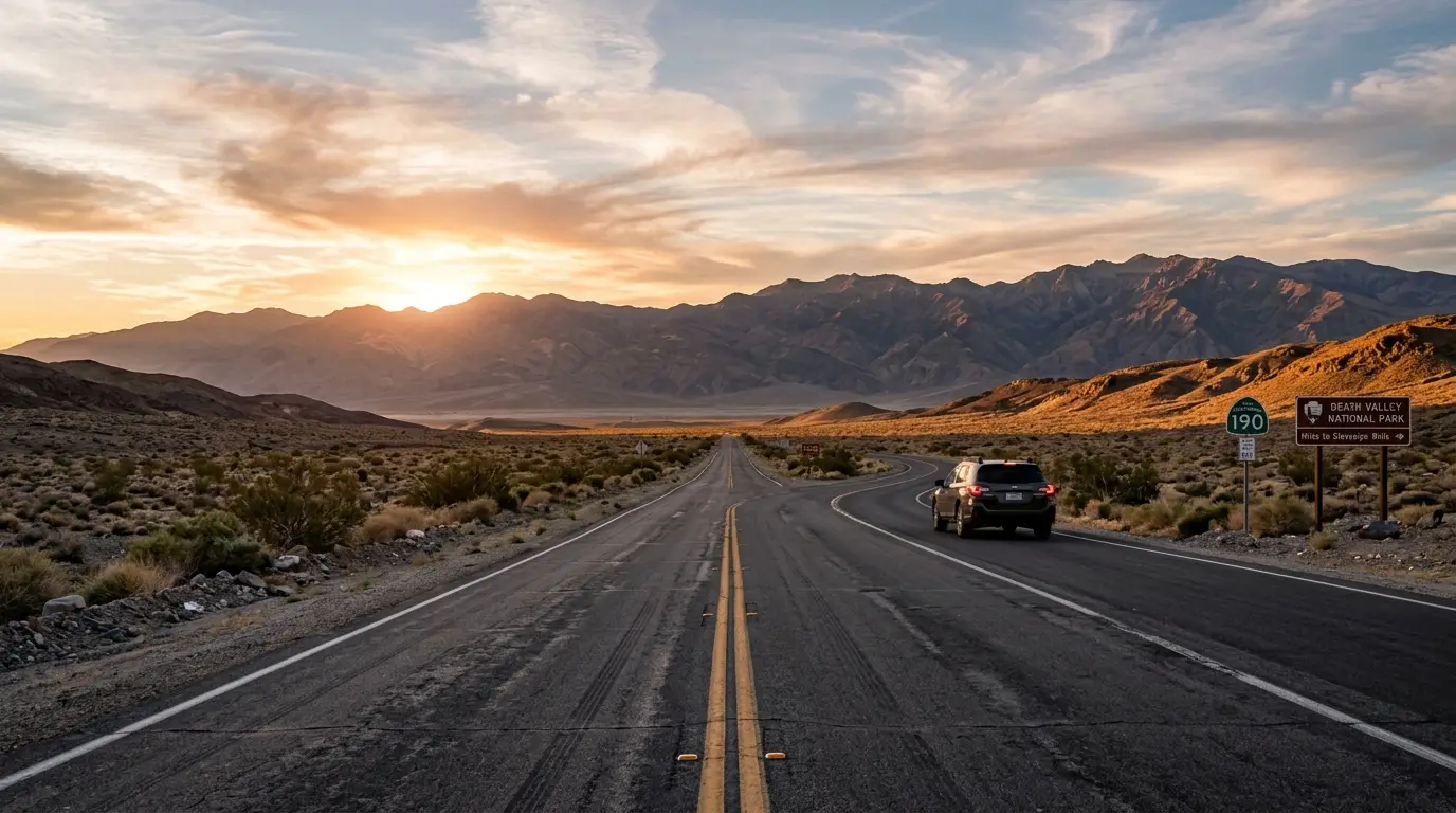

The Short Answer: Death Valley Is an Easy Drive-In Park
Death Valley has a reputation for being remote, and the name doesn't help. In practice, it's one of the more accessible Gold Tier parks on this site: a paved highway carries you from the Las Vegas Strip to the park entrance in about two hours, and the drive from Los Angeles runs roughly five hours. Neither trip requires a permit, a shuttle, or a backup plan.
The drive from Las Vegas runs about 120 miles, roughly two to two-and-a-half hours[1] on the fastest route. Los Angeles sits farther out, 4.8 to 5 hours[2] depending on traffic through the Cajon Pass and Barstow, but the road the whole way is paved highway, not a high-clearance track through open desert.
That accessibility is worth knowing before you start pricing a bigger rental than you need. Stargazing in Death Valley covers what the park's Gold Tier certification actually means once you've arrived; this guide covers the two routes that get you there, what kind of vehicle the drive actually requires, and what to check before you leave pavement and cell service behind.
None of this makes the drive forgettable. Both routes cross real desert, past Joshua trees outside Las Vegas or through the open basin-and-range country near Baker, before dropping into Death Valley's own furnace-hot lowlands. It's simply desert you drive through on a normal highway, not a wilderness you have to fight your way into.
Driving From Las Vegas: The Direct Two-Hour Route
The fastest way out of Las Vegas is straightforward: NV-160 West through Pahrump, then CA-190 West into the park[3]. Pahrump is the last real town before the desert opens up, and the sensible place to top off the tank and grab anything you forgot, since services thin out fast past that point.
From Pahrump, CA-190 climbs over the Amargosa Range and drops into the valley, passing near Death Valley Junction before running west toward Furnace Creek, the park's small hub and the obvious first stop for gas, food, and a place to sleep.
A few notes worth knowing before you leave the Strip:
- The entire route is paved, with no unpaved detours on the direct run from Las Vegas
- Pahrump is the last reliable fuel and grocery stop before the park boundary
- Cell service holds through Pahrump, then drops off well before you reach the park
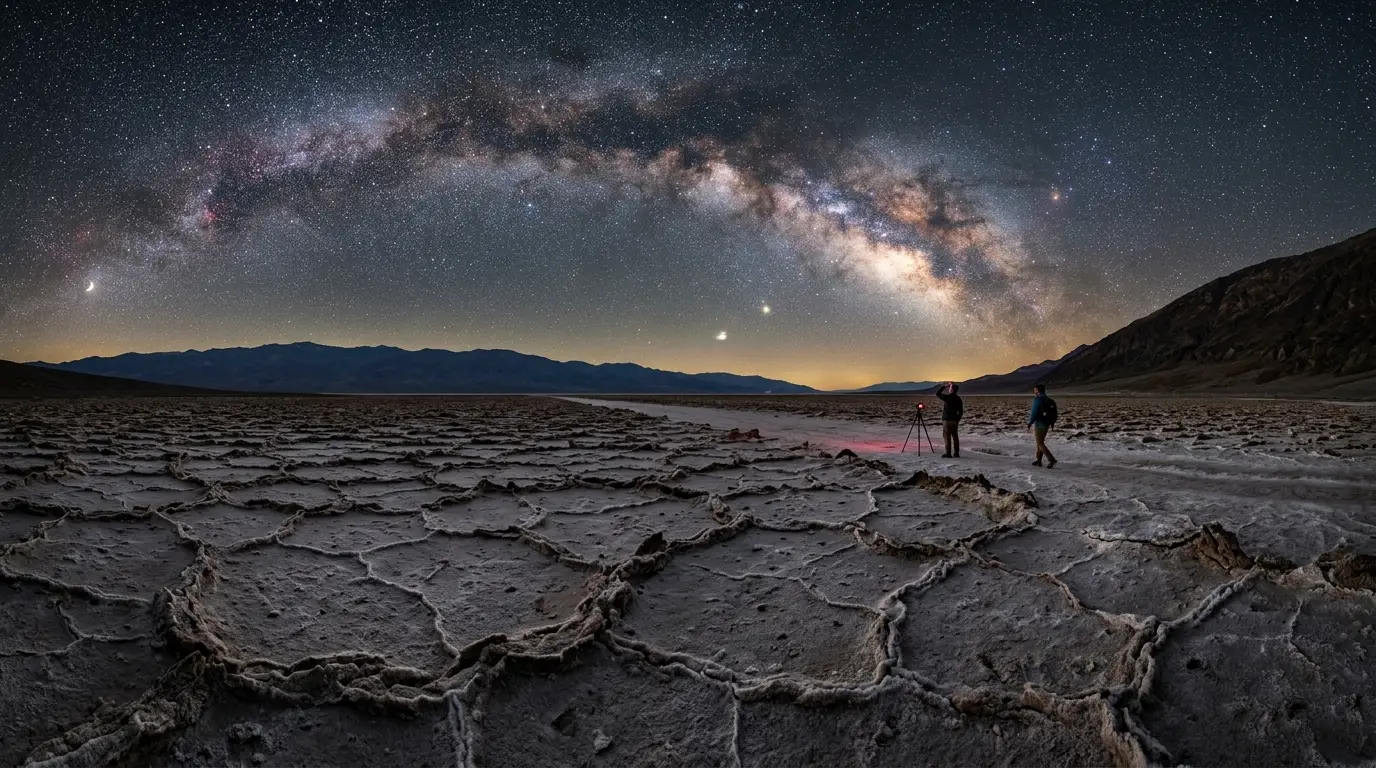
Featured · Destination
Death Valley
Death Valley's Gold-tier dark sky sits at the lowest point in North America. Here's when to visit, where to stay, and how to handle the extreme summer heat.
None of this calls for an early start. Leave after breakfast and there's still a full afternoon of daylight left to check into a room at Furnace Creek, or to reach a viewpoint before the sky goes properly black. That same two-hour leg is the on-ramp to a bigger loop: the Las Vegas to Death Valley to Joshua Tree road trip runs both parks from this same Las Vegas hub.
That final stretch over the Amargosa Range is also the first hint of what's ahead. The road drops in elevation fast enough that the outside temperature climbs noticeably by the time Furnace Creek's palm trees come into view, even in cooler months.
Driving From Los Angeles: The Longer Route Through Baker
Los Angeles doesn't have one obvious road in the way Las Vegas does. The most common route runs Interstate 15 north to Baker, then California 127 north to California 190 west into the park[4], the same basic corridor whether the drive starts on I-10 or I-210 through the San Gabriel Valley.
Baker plays the same role Pahrump does on the Nevada side. It's the last town with real services before the empty stretch into the park, best known for the World's Tallest Thermometer and not much else, but exactly what this stretch of the Mojave needs. Fill the tank here even if the gauge says you don't need to; the next reliable station is well inside park boundaries and priced accordingly.
| Gateway city | Distance / drive time | Route |
|---|---|---|
| Las Vegas, NV | ~120 miles, about 2-2.5h | NV-160 W through Pahrump, then CA-190 W |
| Los Angeles, CA | 4.8-5 hours | I-15 N to Baker, then CA-127 N to CA-190 W |
The trade-off for Los Angeles drivers is time, not difficulty. 4.8 to 5 hours[2] door-to-entrance is a full day's commitment either way, longer with Friday-afternoon traffic out of the city or a stop in Baker. Budget the extra hour rather than fight it. There's no faster alternate road that shortcuts the distance.
The desert in between isn't empty in the way it looks from the highway. Roadside pullouts near the Mojave National Preserve give a legitimate reason to stretch your legs before the final push into the park. Cell service holds for most of the interstate stretch and starts to fade the closer you get to Death Valley itself.
What Kind of Vehicle You Actually Need
Death Valley's reputation for rough desert roads doesn't apply to the drive in, or to most of what you'll do once you're there. In practice, standard two-wheel-drive vehicles are fine for the main park roads[6], which are excellent paved routes connecting every major sight most visitors come for. Many of those roads even include short graded-dirt stretches that a regular passenger car handles without trouble[7].
That changes the moment Racetrack Playa enters the conversation. Reaching the valley's famous sliding stones requires a four-wheel-drive, high-clearance vehicle[8], because the access road south of Ubehebe Crater is a graded washboard track lined with loose sharp rocks, not a maintained highway. It's the one place in the park where a rental sedan genuinely isn't an option. exactly where in the park to set up covers what that particular drive involves in more depth.
For everyone sticking to Badwater Basin, Zabriskie Point, Mesquite Flat, and Furnace Creek, the vehicle question mostly answers itself. Whatever you drove in on gets you everywhere that matters.
Renting the right car
Don't upgrade to an SUV or truck for a standard Death Valley trip. A compact sedan or economy rental handles Badwater Road, the run past Zabriskie Point, and the drive to Mesquite Flat the same as any other paved highway. Save the 4x4 upgrade, and the extra daily rate that comes with it, for a trip that specifically includes Racetrack Playa or another named backcountry road.
Before You Go: Fees, Gas, and Staying Found Without Cell Service
A few practical items to sort before you leave cell coverage behind.
The entrance fee runs $30 per vehicle, valid for seven days[5], covering the whole park whether you're staying two nights or splitting a longer Southwest road trip across several parks.
Recommended tours
Tours are selected for quality, not commission. I earn a small fee if you book — at no extra cost to you.



Fuel is available at three gas stations inside the park[9], at Furnace Creek, Stovepipe Wells, and Panamint Springs, but treat them as a backup rather than the plan. Prices run well above what you'd pay at the last town with a highway exit, so fill up in Pahrump or Baker before you arrive.
Cell service is unavailable along most roads[10] once you're past those gateway towns. Download offline maps before you lose the signal, because the phone in your pocket stops being useful right when the roads get more confusing.
The National Park Service is blunt about the fix: don't depend only on your vehicle's GPS[11]. Carry a physical map or a downloaded offline one. GPS routing has sent drivers onto roads that a passenger sedan can't handle, or that don't exist at all.
Driving an EV changes the math further. There are no rapid chargers inside the park[12], only limited Level 2 charging at the Furnace Creek and Stovepipe Wells resorts, with availability that varies by season. Charge fully in Las Vegas, Pahrump, or Baker before the last stretch in.
Road Conditions to Check Before You Drive
None of the routes above are set in stone, or rather, they're set in a landscape that occasionally moves the stone for you. Storms have caused real damage inside the park in recent years, including February 2024 flooding and more flood damage in August, September, and November 2025, with road recovery work continuing into early 2026. Some roads to popular points of interest remain closed with no confirmed reopening date.
Check the National Park Service's official road conditions page before a trip, especially if a specific overlook or the Racetrack Playa road is part of the plan. It's a more current source than a search result or a six-month-old review.
Road damage doesn't just complicate the drive in. A closed spur can also cut off a planned stargazing pull-out for the night, so checking conditions the same week as the trip protects the whole itinerary, not just the route to the entrance.
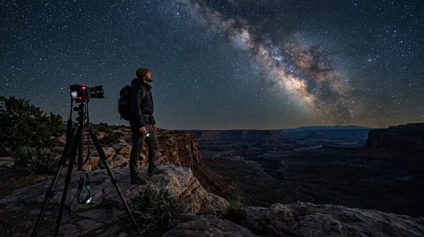
Featured · Article
What Is Astrotourism? The Complete Beginner's Guide
Astrotourism means travel built around dark skies: meteor showers, auroras, the Milky Way. What it means, where to go, and how to plan your first trip.
None of this changes the core picture. Death Valley is one of the easier Gold Tier parks to reach: two hours from Las Vegas, five from Los Angeles, on paved roads a standard rental handles without complaint. Check the road conditions line, fill the tank before Pahrump or Baker, and the hardest part of the trip is the drive itself, not anything waiting once you arrive. From there, it's stargazing in Death Valley and a night at The Inn at Death Valley or one of the park's other Furnace Creek properties.