
The Ingraham Trail: Yellowknife's Primary Aurora Corridor
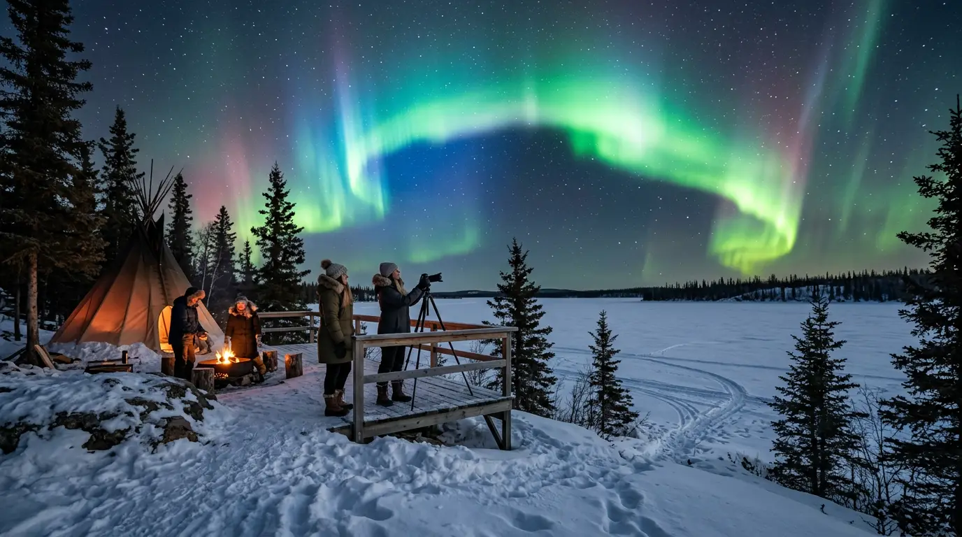
The Ingraham Trail is not a hiking path. It is Highway 4, a paved two-lane road running 70 km northeast from Yellowknife into the Canadian Shield, and for aurora chasers it is the single best viewing corridor in North America. No entrance gate, no permit, and no fee. Fill the tank at one of the gas stations on Franklin Avenue, because there are none past the city limits, and drive east until the city's sky glow drops below the horizon behind you.
Yellowknife sits directly under the auroral oval[2]. That positioning means the aurora appears overhead on most clear, dark nights at Kp 2 or above, a threshold quiet enough that even modest solar-wind conditions produce a visible display. But the oval only solves half the problem. The other half is light pollution, and Yellowknife's population of roughly 20,300[3] still throws enough sky glow westward to wash out faint auroral structure within the first 10 km of the trail.
The road solves this by running through virtually uninhabited boreal forest. At km 15, the sky glow from downtown is noticeable but fading. By km 25, it is a pale dome on the western horizon. At km 40 and beyond, you are in genuine Bortle 1–2 darkness, the kind where the Milky Way casts a visible shadow on snow and the aurora's fainter purple and red oxygen emissions, invisible from town, resolve clearly to the naked eye.
The basic strategy: leave town 30 minutes before you want to start viewing, drive east until the sky feels dark, find a wide pull-off facing north, and park with every light off. In winter, keep the engine running for heat, but cover your dashboard if its glow bleeds upward. Give your eyes 20 minutes to dark-adapt. For the solar-wind-to-magnetosphere chain that produces the display, the physics behind the aurora covers that in more depth, and the Kp index explained guide covers how to read the forecast number before you head out.
Kilometer by Kilometer: Every Pull-Off Worth Stopping For
The Ingraham Trail has no official aurora-viewing parking lots. What it has is a series of day-use areas, scenic turn-offs, and wide gravel shoulders, each at a different point on the darkness gradient. Here is every one worth knowing, ordered by distance from Yellowknife.
Yellowknife River Day Use Area (km 5). The closest dark-sky option outside city limits, at roughly five to seven minutes from downtown. A small paved lot with room for six or seven vehicles sits beside the Yellowknife River crossing. The river valley provides modest wind shelter, which matters on nights below -30°C when any breeze cuts through clothing. At km 5, you are still close enough to town that sky glow is obvious on the western horizon, and the tree cover blocks part of the northern view. Use this spot as a quick scouting run: if the aurora is bright enough here, it will be spectacular 20 km further east. If it is faint, drive deeper.
Prelude Lake (km 26). A popular day-use area on the trail[4], and the best single spot for most chasers. A maintained gravel parking lot serves Prelude Lake, one of the larger lakes along the corridor, and the frozen lake surface in winter acts as a viewing platform with a near-360-degree sky[5]. Drive time from downtown is roughly 20 minutes. Seasonal pit toilets are available here, and they are the only facilities on the entire trail, so this is also your bathroom stop. Sky glow from Yellowknife is reduced to a faint arc on the western horizon. On busy nights you may share the parking area with other chasers and the occasional tour van, but the lake is large enough that walking 200 metres onto the ice gives you solitude and an unobstructed overhead view. If you only visit one spot on this list, make it this one.
70
Beyond Prelude Lake: Powder Point and Cameron Falls (km 35–47). Powder Point at km 35 is a smaller day-use area on a northern arm of Prelude Lake, roughly 25 minutes from downtown. The parking area holds four or five vehicles at most, and the darkness is comparable to the main Prelude Lake lot, but you get it with less traffic. Seasonal pit toilets are available. Cameron River Crossing at km 47 is the furthest point most independent chasers reach, roughly 35 minutes from downtown. The Cameron River bridge crosses a shallow gorge, and a gravel parking area at the Cameron Falls trailhead sits just beyond it. At this distance, sky glow from Yellowknife is gone entirely, replaced by genuine Bortle 1–2 darkness. The valley setting blocks some low-horizon sky, but the frozen cascades and rock walls add foreground interest for astrophotography that flat lake ice cannot match. Cell service is nonexistent this far out; download maps and forecasts before leaving town.
Great Slave Lake Shoreline: Aurora from Old Town
You do not always need to drive 30 km to see the aurora in Yellowknife. When the display is strong, Kp 4 or above, the shoreline of Great Slave Lake in Old Town and Back Bay delivers an in-town view that costs you nothing but a short walk from your hotel.
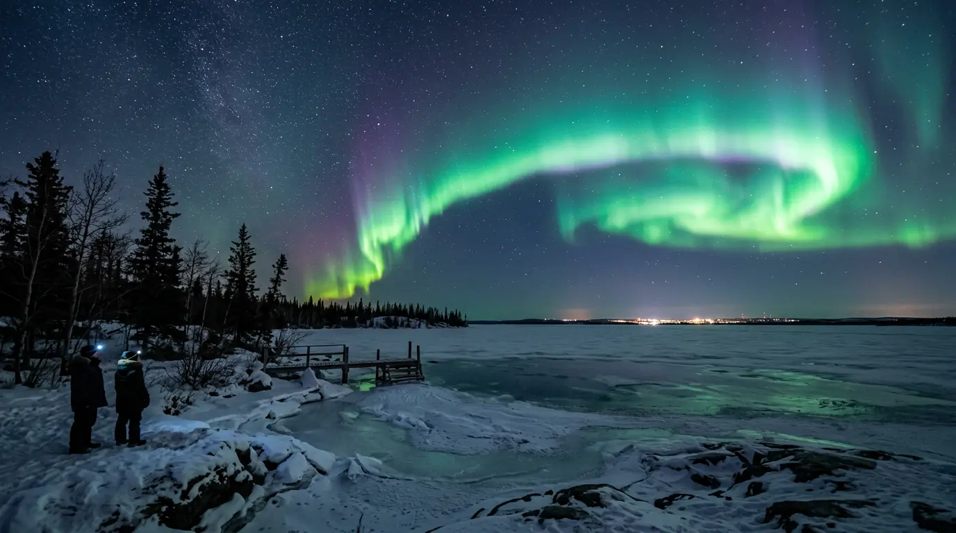
Great Slave Lake is one of the largest freshwater lakes in the world[6], and its shoreline runs along the north edge of Old Town Yellowknife. From the waterfront on Back Bay or the rocky outcrops near the Pilot's Monument, you face north across open water — or frozen lake surface in winter — with no buildings, no tree line, and no streetlights between you and the polar sky. On a clear night with active aurora, the view from here is genuinely good, and the walk from any Old Town accommodation takes under ten minutes.
Featured · Destination
Yellowknife Northern Lights
Yellowknife sits beneath the auroral oval: up to 240 aurora nights per year. Guide to seasons, viewing spots, Indigenous-led tours, and cold-weather planning.
The catch is light pollution. Yellowknife's downtown core sits close enough to Old Town that sky glow washes out faint auroral structure. Displays at Kp 2 or 3, the kind that produce vivid overhead curtains from the Ingraham Trail, register as a pale grey-green smudge from this shoreline. You need a strong geomagnetic night, the sort that lights up the snow, for the Old Town waterfront to compete with the trail.
The N'Dilo shoreline, a short walk east across the bridge to Latham Island, is noticeably darker than the Old Town side. N'Dilo is a Yellowknives Dene First Nation community; the street lighting is sparser and the Great Slave Lake exposure is comparable. Walk quietly to the shoreline, away from porch lights and idling cars, and you find the best in-town aurora spot most visitors never discover. N'Dilo is a residential community, not a tourist facility; come, watch the sky, leave nothing behind.
If you are staying downtown, the Old Town waterfront is a five-minute drive or a 20-minute walk. Keep it in your back pocket for nights when the forecast is strong but the Ingraham Trail feels like too much effort. For the full destination planning picture including seasons, operators, and where to stay, the Yellowknife northern lights hub covers everything outside the viewing-spot scope of this guide.
Frame Lake Trail: The Five-Minute Aurora Check
Frame Lake sits in central Yellowknife[7], a shallow lake ringed by a paved, lit walking trail that loops the shoreline in 30 to 45 minutes on foot. It is not a serious viewing spot, and it is not pretending to be. What it is: the quickest possible way to check whether tonight's aurora is strong enough to justify a drive out to the Ingraham Trail.
From any downtown hotel, Frame Lake Trail is a five-minute walk. Step outside at 21:00 on a winter night. If the sky above the lake is visibly green, unmistakably and not a faint maybe, the trail 30 km east is going to deliver something memorable. If you see nothing at all, weak aurora may still be active further out, but at least you now know to calibrate your expectations before committing to an hour of winter driving.
The trail is lit, flat, and safe for solo travelers. It is popular with locals walking dogs after dark, and on active nights you will spot other people stopping to look up. Do not plan a full evening here. The surrounding buildings and streetlights push the site to roughly Bortle 7–8, and only the brightest displays cut through the glare. Treat Frame Lake as exactly what it is: a scouting tool, not a destination.
Dettah Ice Road: The Off-Axis Option
Ten kilometers southeast of downtown Yellowknife, on the far side of Yellowknife Bay, sits the community of Dettah, a Yellowknives Dene First Nation settlement. In winter, when the bay ice reaches safe thickness, typically January through April, an ice road opens across the bay, connecting Yellowknife to Dettah via a five-to-ten-minute drive across a frozen lake surface that doubles, in the dark, as the widest and flattest aurora-viewing platform in the region.
Driving onto a frozen Great Slave Lake arm in January at -35°C is not subtle, and there are rules. The ice road is maintained by the NWT government; check the official ice road status before crossing, drive at 10 to 20 km/h, and never stop on the road itself. Pull off at the designated roadside areas near the Dettah end, where you face back toward the Yellowknife skyline with the aurora overhead. That perspective, a small city's amber lights beneath a sky-full of green, is one none of the Ingraham Trail spots can offer.
In summer, Dettah is accessible via a gravel access road branching off Highway 4 that takes roughly 30 minutes. The summer route is rougher, but the destination is the same: a quiet shoreline with good northern exposure and almost no artificial light. Dettah is a residential community, not a tourist attraction, and there are no visitor facilities at the viewing areas. Come, watch the sky, leave nothing behind.
The ice road option is seasonal and weather-dependent; do not build a trip around it without a backup. In a typical year, the road opens in early to mid-January and closes in April when the ice softens. For the month-by-month timing of Yellowknife's aurora season, including which months overlap with the ice road window, the best time for northern lights in Yellowknife guide covers the full calendar.
Practical Gear and Safety for Subarctic Aurora Nights
Aurora viewing in Yellowknife is an outdoor activity in extreme subarctic cold. Winter temperatures during peak season regularly reach -30°C to -40°C, and -50°C is possible in January[8]. A stationary vigil at those temperatures is not just uncomfortable; it is dangerous without the right gear. Here is what actually matters.
Clothing. A down parka rated to at least -30°C, insulated snow pants, liner gloves inside heavy mittens, and boots rated to -40°C or colder. Renting extreme-cold gear in Yellowknife is straightforward: several outfitters offer full kits including the insulated boots and mittens most travelers do not own. Hand warmers and toe warmers are not optional. Buy a box before you leave town.
Vehicle. A rental with all-wheel drive and winter tires is essential. Highway 4 is paved and plowed but develops black ice on bridge crossings and shaded curves. Keep the fuel tank above half; there are no services past the city limits. Carry a winter emergency kit: blankets, a shovel, booster cables, and a fully charged phone. Even without signal, your phone is your flashlight and camera.
Forecast discipline. Check a same-evening aurora forecast before committing to the drive. Astronomy North runs a Yellowknife-specific forecast at astronomynorth.ca that is more locally calibrated than the generic NOAA Kp maps[9]. Cloud cover matters more than the Kp number on any given night: a Kp 2 under clear skies beats a Kp 5 behind solid cloud, every single time.
Recommended tours
Tours are selected for quality, not commission. I earn a small fee if you book — at no extra cost to you.
Dark adaptation. It takes 20 to 30 minutes for your eyes to fully adjust to darkness. Every glance at a phone screen, car dome light, or headlamp resets the clock. Use a red-light headlamp for any task that requires illumination while viewing; white light from a standard flashlight leaves you functionally blind to faint aurora for another half-hour.
| Spot | Drive time | Darkness level | Best for |
|---|---|---|---|
| Yellowknife River (km 5) | 5–7 min | Moderate sky glow | Quick scouting runs |
| Prelude Lake (km 26) | 20 min | Dark, faint horizon glow | Best all-around spot |
| Cameron Falls (km 47) | 35 min | Bortle 1–2, fully dark | Astrophotography, solitude |
| Great Slave Lake shoreline | 0 min (walkable) | Significant light pollution | Strong-aurora nights, convenience |
| Dettah ice road | 10 min (winter) | Dark, open sky | Unique skyline perspective |
The table below compares the key trade-offs for each main viewing location.
For the full clothing system and battery-care routine that applies across all subarctic aurora destinations, the how to see the northern lights guide covers layering, gear, and viewing technique. If you want a fly-in lodge with zero light pollution and a heated viewing deck, Blachford Lake Lodge sits 30 minutes by floatplane from Yellowknife and runs dedicated aurora packages through the winter season.