Why Big Bend Gets Called the Darkest Park in the Lower 48
Big Bend is often called the darkest park in the lower 48. Here is how NPS measures sky brightness, what the desert adds, and where regional haze pushes back.
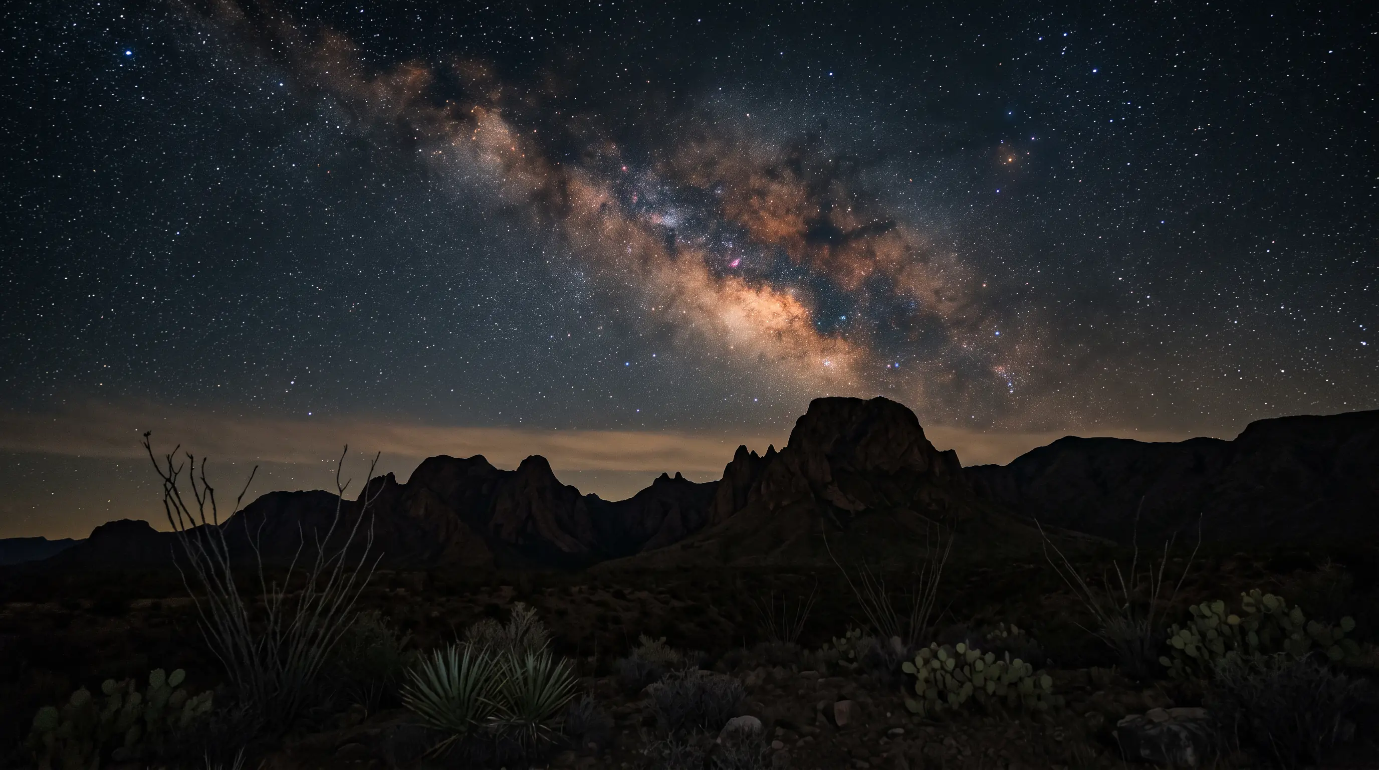
NPS calls Big Bend's sky the darkest of any park in the lower 48, yet reports moderately hazy views on most days.
In this article
Jump to a section
What the darkest-park claim actually says
Scarce water and long distances keep the lights away
Featured · Destination
Big Bend National Park
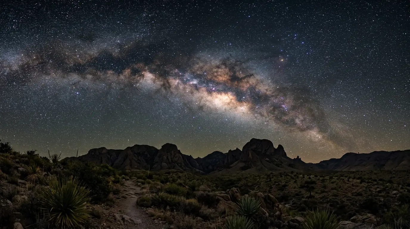
Big Bend National Park is Bortle Class 1, the darkest rating the Bortle scale has. What that dark sky rating means on the ground, and the best months to go.
How NPS turns a dark sky into a number
- Magnitudes per square arcsecond: a backwards scale where higher means darker, with 22 pristine and anything under 20 greatly deviated from natural.[9]
- The all-sky light pollution ratio (ALR): total skyglow divided by a natural baseline of 250 μcd/m², where under 0.3 is excellent and 0.3 to 2.0 is impaired.[22][23]
- The Bortle scale: a nine-level scale that classifies a site by the sky objects visible from it.[24]
Regional haze is the weak link in the clear-desert story
Featured · Article
What Is Light Pollution? Definition, Types, and Solutions
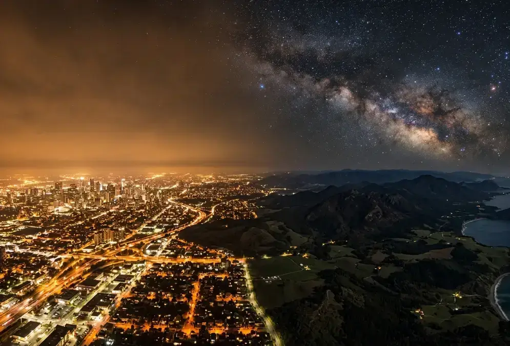
Light pollution is artificial light brightening the night sky, affecting 80% of the world. Learn the 4 types, wildlife and health effects, and how to fix it.
Whether the darkness holds, and when to go
Recommended tours
Tours are selected for quality, not commission. I earn a small fee if you book — at no extra cost to you.
Frequently asked questions
Does "darkest in the lower 48" mean the darkest place in the country?
What does the Big Bend dark sky rating actually measure?
Why is the sky so dark in Big Bend?
How does regional haze affect Big Bend's sky?
How do rangers measure sky darkness?
Why is an SQM reading not enough to rank dark sites?
Does elevation make the stars brighter at Big Bend?
Is haze at Big Bend getting worse?
Sources
44 references Show Hide
- nps.gov — Airquality (opens in a new tab)
“Generally, park visitors find moderately hazy views on most days, with poor conditions of less than 30 miles visibility 6% of the time.”
- home.nps.gov — Stargazing (opens in a new tab)
“The Natural Sounds and Night Skies division of the National Park Service has determined that Big Bend has the darkest night skies of any national park in the lower 48 states.”
- home.nps.gov — Stargazing (opens in a new tab)
“The main reason for the great quality of our night skies is due to the fact that Big Bend is far removed from large towns or cities.”
- nps.gov — The darkness that refreshes (opens in a new tab)
“The primary reason for this is that this area is lacking the available water to support development for a larger number of people, and there are no exploitable resources that would draw larger populations.”
- home.nps.gov — Bibe (opens in a new tab)
“average annual precipitation ranges from 25 centimeters (10 inches) in the desert to 46 centimeters (18 inches) in the Chisos Mountains.”
- nps.gov — NSQmetrics (opens in a new tab)
“Although getting a reading is fast and easy, the instrument does not reliably measure the sky brightness when the sky is darker than 21.5 mag/arcsec².”
- nps.gov — Ida (opens in a new tab)
“Measurements by the National Park Service Night Sky Team show that the Big Bend Region offers the darkest measured skies in the lower 48 states.”
- nps.gov — 06 10 2016 (opens in a new tab)
“The darkest places in the United States are in the Colorado Plateau, a region of the Southwest covering parts of Utah, Colorado, New Mexico and Arizona.”
- nps.gov — NSQmetrics (opens in a new tab)
“A sky brightness of 22 mag/arcsec² would be considered pristine, and a sky brightness < 20 mag/arcsec² would be considered greatly deviated from the natural condition.”
- nps.gov — 06 10 2016 (opens in a new tab)
“The New World Atlas model provides a compelling illustration that sky glow extends large distances from cities”
- nps.gov — Statistics (opens in a new tab)
“Size 801,163 acres (1,252 square miles)”
- nps.gov — Ida (opens in a new tab)
“In the southwest of Texas on the Mexican border, clear skies, temperate nights and miles of undeveloped space in the vast and remote Chihuahuan Desert provide an unforgettable stargazing experience.”
- home.nps.gov — Stargazing (opens in a new tab)
“But as area towns, cities, and industries grow, the associated light pollution also expands toward Big Bend.”
- nps.gov — Measuring (opens in a new tab)
“The National Park Service collects high resolution images of the night skies from horizon to horizon using two types of highly specialized camera systems:”
- nps.gov — Methods (opens in a new tab)
“Data are calibrated to stars of known brightness, allowing absolute brightness measures to be extracted from the images.”
- nps.gov — Measuring (opens in a new tab)
“Components of natural sky brightness include zodiacal light, Milky Way, airglow, and atmospheric diffused light”
- nps.gov — Measuring (opens in a new tab)
“The modeled natural brightness can be subtracted out to obtain panoramic images showing anthropogenic light only.”
- nps.gov — Methods (opens in a new tab)
“To date, nearly 100 NPS sites have been surveyed.”
- nps.gov — Ida (opens in a new tab)
“Extensive sky quality monitoring has been ongoing since 2003.”
- nps.gov — Methods (opens in a new tab)
“Weather conditions constrain data collection, as it has to be at least 95 percent clear to capture sky brightness conditions properly. Only nights with no moon are suitable.”
- nps.gov — NSQmetrics (opens in a new tab)
“Aerosols from the haze, dust, and air pollutants can enhance the skyglow.”
- nps.gov — NSQmetrics (opens in a new tab)
“Mean All-sky Light Pollution Ratio (ALR): the total skyglow brightness divided by the natural dark sky set at 250 μcd/m².”
- nps.gov — NSQmetrics (opens in a new tab)
“Generally, ALR values less than 0.3 indicate excellent conditions, 0.3 to 2.0 indicate impaired sky quality”
- nps.gov — NSQmetrics (opens in a new tab)
“a nine-level numeric scale that classifies the night sky’s brightness of a particular location based on visible sky objects (Bortle, 2001)”
- nps.gov — NSQmetrics (opens in a new tab)
“The SQM has a wide field of view; its full width half maximum of the angular sensitivity is 42°.”
- tpwd.texas.gov (opens in a new tab)
“The mean SQM reading for that night was 21.73.”
- tpwd.texas.gov (opens in a new tab)
“Big Bend Ranch’s Bortle Scale rating is 1 in some areas. Barton Warnock Visitor Center has a 2 rating, while Fort Leaton has a 4.”
- nps.gov — Airquality (opens in a new tab)
“On some days of the year Big Bend’s air quality is so good that visitors can actually see the detail of large objects over 100 miles away.”
- nps.gov — Airquality (opens in a new tab)
“Nearly half of Big Bend’s visibility reduction is due to sulfates.”
- nps.gov — Aq bravo (opens in a new tab)
“Haze is caused by scattering and absorption of light (light extinction) by suspended particles in the air.”
- nps.gov — Aq bravo (opens in a new tab)
“In addition, Big Bend is one of the few national parks where haze has been increasing since the late 1980s.”
- nps.gov — Air quality chihuahuan desert (opens in a new tab)
“At Big Bend NP, air quality was determined to be in moderate condition with regard to visibility, sulfur deposition, and ozone; nitrogen deposition is of significant concern.”
- nps.gov — Airquality (opens in a new tab)
“Air quality in this area varies significantly by season, with the summer season typically having the poorest visibility and winter season the best.”
- nps.gov — Weather (opens in a new tab)
“Sunshine is abundant most of the year.”
- nps.gov — Weather (opens in a new tab)
“The rainy season runs from July through September, with locally heavy thunderstorms and some flash flooding possible.”
- nps.gov — NSQmetrics (opens in a new tab)
“Extinction values indicate the quality of atmosphere transparency.”
- nps.gov — NSQmetrics (opens in a new tab)
“Extinction greater than 0.3 mag/airmass is considered high, indicating poor atmospheric conditions.”
- nps.gov — Statistics (opens in a new tab)
“Highest point: Emory Peak; 7,832 feet (2,387 m) Lowest point: Rio Grande Village; 1,850 feet (564 m).”
- home.nps.gov — Bibe (opens in a new tab)
“The park's Chisos Mountains are "sky islands" surrounded by desert.”
- bigbendnp.github.io (opens in a new tab)
“ALR was caclulated throughout a 300 kilometer radius around Big Bend National Park, using open-source geospatial tools and satellite images of average nighttime radiance.”
- bigbendnp.github.io (opens in a new tab)
“In Big Bend National Park, an international dark-sky park, sky quality is good, but it is threatened by increasing light pollution in the greater Trans-Pecos area.”
- mcdonaldobservatory.org (opens in a new tab)
“While light pollution is increasing by an estimated 9.6% annually in North America, Jeff Davis County presents a very different picture from the national average.”
- epa.gov (opens in a new tab)
“Winter data for Year X cover the period from December in year X through February in year X+1.”
- nps.gov — Webcams (opens in a new tab)
“The view is to the Northwest, and updated every 15 minutes. On a clear day, distant peaks over 80 miles away are clearly visible.”