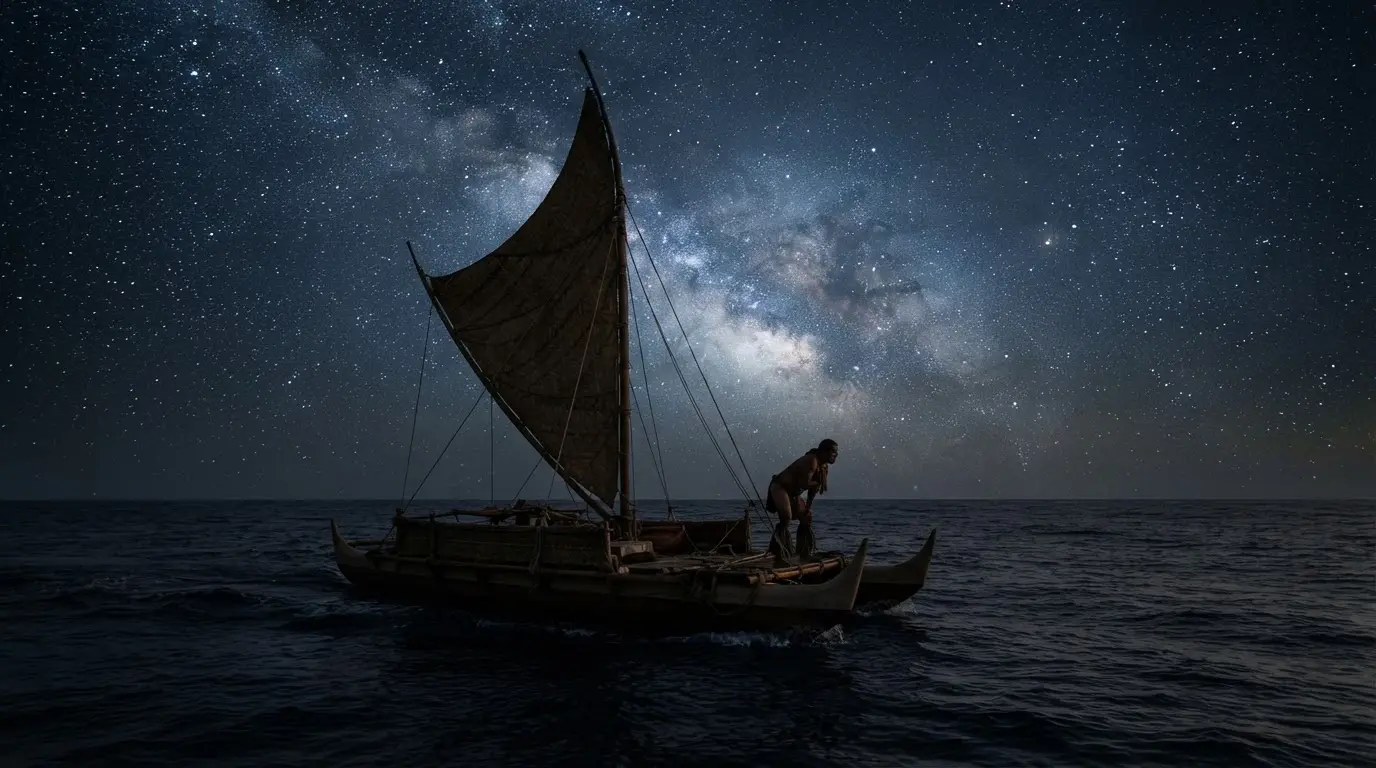

What Hawaiian wayfinding actually is
Wayfinding is celestial and environmental navigation without instruments: no compass, no sextant, no GPS. A trained navigator, or kilo hōkū (star watcher), holds an entire mental map of the ocean in memory: where stars rise and set, how ocean swells feel through the hull of a canoe, which birds signal that land is near. It is memorization at a scale that sounds implausible until you watch someone do it.
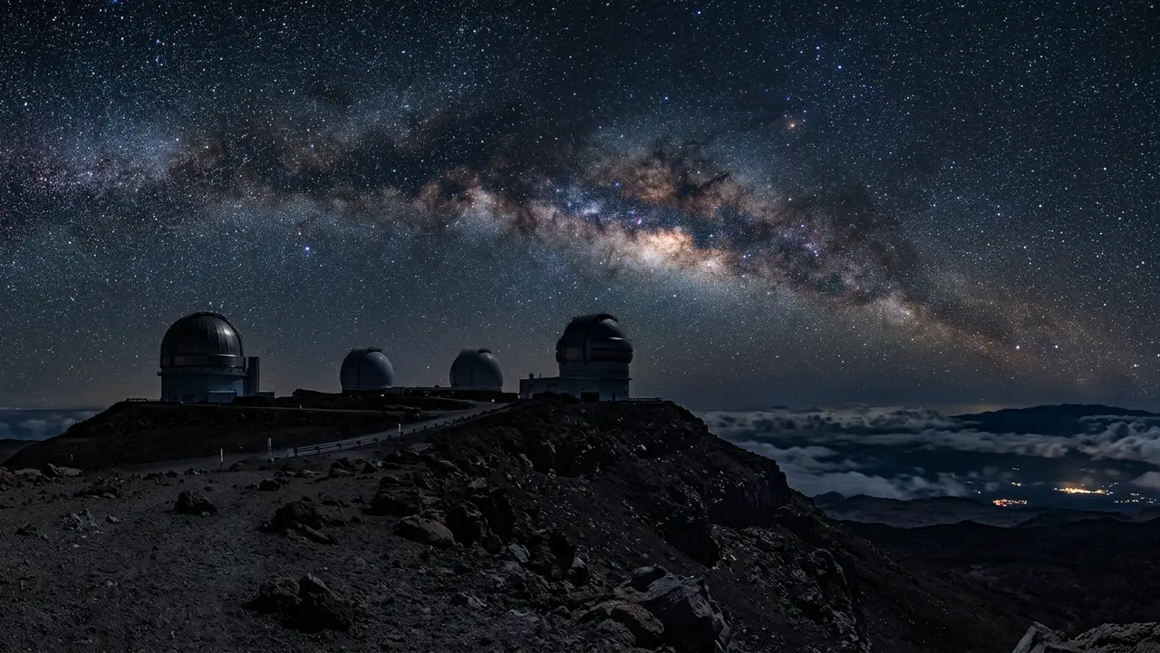
Wayfinding predates instrument navigation across the Pacific by centuries, part of a wider Polynesian voyaging culture that settled islands across thousands of miles of open water long before European contact. The same open Pacific sky those navigators read star by star is the sky studied today from the observatories atop Mauna Kea — two entirely different systems of knowledge, reading the identical stars.
By the twentieth century, though, that knowledge had all but disappeared in Hawaiʻi itself: no one alive on the islands could still sail by the old methods. The gap was not casual forgetting. It opened during the Hawaiian Renaissance, a period when cultural extinction felt dangerously close to many Hawaiians[1], and a generation moved to relearn language, hula, and navigation before the last threads broke for good. Recovering wayfinding meant finding someone who still remembered it, and that person was not Hawaiian.
The Hawaiian star compass: a compass carried in memory
The core tool of wayfinding is not a tool at all: it is the star compass, a mental construct dividing the horizon into houses where stars are known to rise and set. The Hawaiian star compass divides the horizon into 32 houses, each spanning 11.25 degrees of arc[2], marking the exact bearing where a given celestial body climbs out of the ocean or sinks back into it.
Master navigator Nainoa Thompson, who learned the system directly from Piailug, describes it in plain terms: "The star compass is the basic mental construct for navigation. We have Hawaiian names for the houses of the stars — the place where they come out of the ocean and go back into the ocean"[3]. Learn enough of those houses, and a navigator can hold a course through an entire night without touching an instrument.
The compass does not stop at stars. A trained wayfinder also reads:
- Rising and setting stars at known points on the horizon
- Ocean swells, felt through the canoe's hull even when the sky clouds over
- Bird flight paths, since certain species fly out to sea at dawn and back to land at dusk
- Wave direction, which holds steady across a night even when the stars are obscured
Tradition holds that a navigator who can read the swells never truly loses the way, clouds or no clouds. Reading the ocean, in this system, is not a backup plan for cloudy nights. It is co-equal with reading the sky.
Papa Mau Piailug and the return of the old knowledge
By the 1970s, no living Hawaiian could navigate a canoe across open ocean without instruments. When the newly founded Polynesian Voyaging Society set out to build and sail a traditional double-hulled voyaging canoe, they needed someone who still remembered how, and they found him on Satawal, a remote island in Micronesia, a world away from Hawaiʻi.
Mau Piailug was a navigator from Satawal, a small island in Micronesia[4], recruited because Hawaiian wayfinding knowledge itself no longer existed in living memory on the islands that had once produced it. He agreed to teach it, in a place that was not his home, in service of a tradition that was not, technically, his own.
Piailug did not just get one canoe to Tahiti and back. He rebuilt an entire line of transmission that Hawaiians could then carry forward themselves, a distinction that matters because the person who eventually carried it furthest was Hawaiian, not Micronesian.
“Without him, our voyaging would never have taken place.”
Hōkūleʻa: the canoe that proved the old ways still worked
Hōkūleʻa departed Honolua Bay, Maui, on May 1, 1976, guided by master navigator Mau Piailug, using traditional navigation[5]: no compass, no charts, no instrument of any kind aboard a double-hulled voyaging canoe built to test whether the old techniques still held up over open ocean.
The reception on arrival made the scale of what had been proven undeniable. More than 17,000 people, over half of Tahiti's population at the time, greeted Hōkūleʻa's arrival in Papeʻete Harbor[6]. A canoe navigated purely by memory of stars, swells, and birds had crossed thousands of miles of open Pacific and landed exactly where it meant to.
- May 1, 1976
Hōkūleʻa sails for Tahiti
Guided by Mau Piailug using only traditional wayfinding, with no instruments aboard.
- 1980
Thompson sails home unaided
Nainoa Thompson navigates Hōkūleʻa from Tahiti back to Hawaiʻi without instruments.
The harder test came four years later, and it belonged to a Hawaiian. In 1980, Nainoa Thompson navigated Hōkūleʻa from Tahiti back to Hawaiʻi without instruments, a feat not accomplished in 600 years[7], becoming the first Native Hawaiian in modern times to practice wayfinding at sea. Thompson had studied directly under Piailug, and the Polynesian Voyaging Society calls him the first modern-day Polynesian to learn and use wayfinding for long-distance, open-ocean voyaging[8]; the 1980 voyage was proof the knowledge had transferred, not just been demonstrated once by an outsider.
From one voyage to a living practice: the Mālama Honua Worldwide Voyage
Hōkūleʻa's 1976 voyage could have stayed a one-time proof of concept. Instead it became the seed of an ongoing practice. Nainoa Thompson went on to train the next generation of navigators, and the Polynesian Voyaging Society kept sailing, kept teaching, and kept building canoes.
The clearest evidence that wayfinding survived as a living tradition, not a museum piece, is the Mālama Honua Worldwide Voyage, which circumnavigated the globe from 2014 to 2017[9], its Hawaiian name meaning "to care for our Earth." The voyage's guiding message extended the logic of wayfinding beyond navigation itself: island living, the Society holds, teaches that the natural world is a gift with limits, requiring careful stewardship. A canoe that finds its way by reading the ocean's limits has something to say about how everyone else should read the planet's.
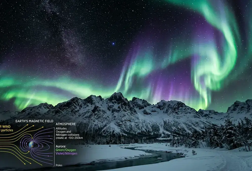
Featured · Article
What Causes the Northern Lights? The Science Explained
Solar wind collides with Earth's magnetic field, funneling charged particles toward the poles, where they excite oxygen and nitrogen into glowing color.
Wayfinding is taught today, not just remembered. If you want to see the same open sky those navigators read for yourself, the best stargazing spots on Mauna Kea are as good a place to start as any on the islands.
The same sky, two ways of knowing: wayfinding and Mauna Kea
Wayfinders and astronomers are reading, quite literally, the same points of light. A navigator memorizes where a star breaks the horizon to hold a course across open ocean. An astronomer atop Mauna Kea's summit tracks that same star to measure a galaxy's distance or a planet's atmosphere. Neither system needs the other to work, and neither one supersedes it.
Recommended tours
Tours are selected for quality, not commission. I earn a small fee if you book — at no extra cost to you.


That overlap is worth sitting with rather than smoothing over. Wayfinding depends on constant, unaided observation. Thompson put the discipline plainly: "You only know where you are in this kind of navigation by memorizing where you sailed from. You don't have a speedometer. You don't have a compass. You don't have a watch"[10]. Modern astronomy depends on the opposite: instruments precise enough to detect light that left its source millions of years before either knowledge system existed. Both count as rigorous ways of reading the sky; only one of them requires you to carry the whole system in your head.
Featured · Destination
Mauna Kea
Mauna Kea is sacred to Native Hawaiians and home to world-class observatories. Here's how to plan respectful, safe Mauna Kea stargazing at the Onizuka VIS.
This piece has stayed deliberately narrow: the wayfinding tradition and the 1976 voyage, not Mauna Kea's own contested history. For the cultural and visitor-etiquette side of the mountain itself, including the decades-long dispute over its summit, see Mauna Kea's cultural significance and how to visit respectfully. For what the telescopes up there are actually built to observe, Mauna Kea's observatories, explained covers the science side directly.
Two knowledge systems, one sky. A star that guided a canoe home in 1980 is still up there tonight, and so is everything astronomers have spent the decades since learning to see past it.