
1907: A Forest Reserve Drawn Over Occupied Land

Jasper Park Forest Reserve was created in 1907, redesignated as Jasper National Park once the National Parks Act passed in 1930[1]. The land the reserve covered was not empty. Stoney Nakoda families had already been part of this landscape for generations, and Métis families had built homes, farms, and outfitting businesses inside the Athabasca Valley long before any survey crew drew the reserve's boundary.
Parks Canada's own website is unusually direct about what came next. "After 1907," it states, "First Nations and Métis peoples were forcibly removed and excluded from this part of their traditional territories"[2]. That is not a modern reinterpretation layered onto a neutral founding story; it is the agency that created and still runs the park describing its own history in exactly those terms.
The reserve's early years were framed around a different audience entirely. Parks Canada describes the landscape in this period as understood mainly as a backdrop for European settler recreation[1], a shift in purpose that had nothing to do with conservation and everything to do with who the land was now meant to serve.

1910: Three Years to Eviction

Three years after the reserve was created, in 1910, Indigenous people, including Métis families living within the park boundary, were forced to leave their homes[3]. That's the plain language of the Jasper Yellowhead Historical Society's own land acknowledgment, not an estimate, but the timeline the historical record supports. Lauren Moberly, a descendant from the Aseniwuche Winewak Nation and Mountain Métis community, describes it without softening: "All the Indigenous people were evicted when the park was formed"[5].
Timeline
  1. 1907

    Forest reserve created

    Established over already-inhabited traditional territory[1]

  2. 1910

    Families forced out

    Métis and First Nations families ordered to leave homes inside the boundary[3]

  3. 1910–

    The long route out

    Nearly two years spent traveling in search of a new home; part of the journey later became Highway 40 toward Grande Cache[6]

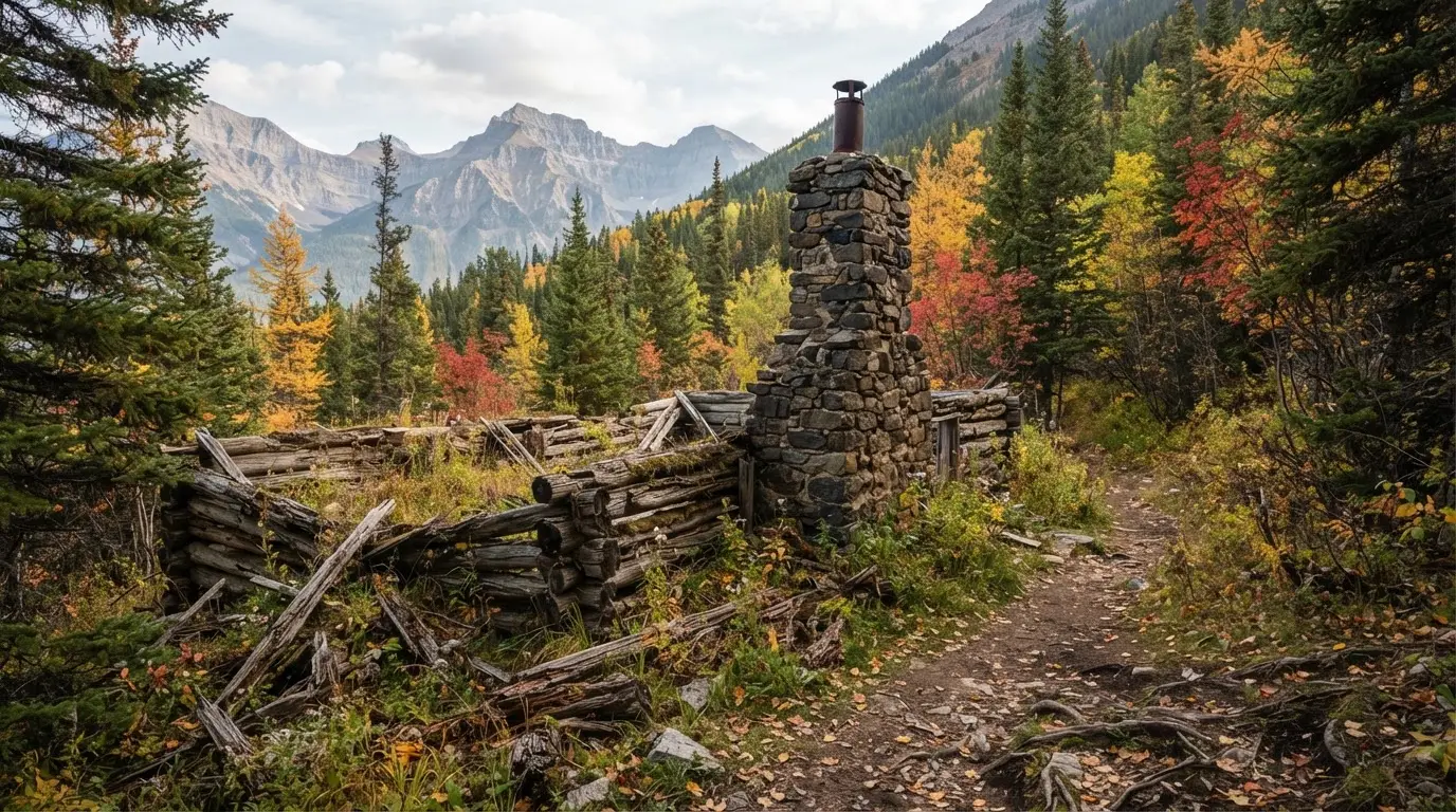
Weathered log homestead ruins along the Overlander Trail in Jasper National Park, tied to Jasper National Park indigenous history

Some of the homesteads built by displaced Métis families still stand along the Snaring Road and Overlander Trail, now marked as interpretive sites.

The scale of that eviction is easy to understate. This wasn't one or two households packing up quietly. "It was such a big group: babies, elders, all their livestock," one account records. "They travelled for almost two years in search of a home"[4]. Part of that route out later became a road: Highway 40, running toward Grande Cache, traces ground some of the displaced families crossed on foot and by wagon[6]. There was no relocation package waiting at the end of it, no new homestead already surveyed and ready. Just distance, and the slow work of finding somewhere else to live.
All the Indigenous people were evicted when the park was formed.
Lauren Moberly , descendant, Aseniwuche Winewak Nation / Mountain Métis

Before the Park: Stoney Nakoda Territory and Métis Life

Long before 1907, this was not unclaimed wilderness waiting to be discovered. The Stoney Nakoda had lived across this stretch of the Rockies for longer than any settler survey could measure. "The Stoney have been part of the ecosystem since time immemorial," as one present-day account puts it[7], a phrase that resists the idea that Indigenous presence here starts with a date on a treaty or a park map.
That presence came with a working relationship to the land, not a passive one. Indigenous peoples in the region practiced land stewardship rooted in conservation principles long before the reserve existed, guided by a worldview that treats humans as part of, and answerable to, the land they relied on[8]. Métis families layered a second economy onto that same territory: homesteads, small farms, and outfitting work supporting travellers moving through the mountains, all of it built on land nobody in Ottawa had yet decided to reserve for anything else, the same land later branded as a Jasper National Park dark-sky destination. That same Treaty 7 territory, Stoney Nakoda included, is where the University of Calgary's Rothney Observatory runs its Indigenous Skies program, pairing official constellation names with traditional sky stories[11].

What Remains: Snaring Road and the Overlander Trail

Not everything was erased. Some of the homesteads built by Métis families who were relocated are still standing, and can be visited today as interpretive sites along the Snaring Road and the Overlander Trail[9]. Walk out to one and the eviction stops being an abstraction: a foundation, a chimney, a fence line, all sitting inside a national park that was built, in part, by removing the people who put them there.
That physical record exists because the documentary one largely doesn't. "You won't find it in the textbooks," says Barry Wesley, speaking to how thoroughly this history sat outside the standard account of how Canada's mountain national parks came to be[10]. The homesteads on Snaring Road do the work the textbooks skipped: they're the clearest evidence, still standing in the landscape, that somebody lived here first. Visitors heading out to the same routes today for the best stargazing spots in Jasper are, often without realizing it, walking past what's left of that history.
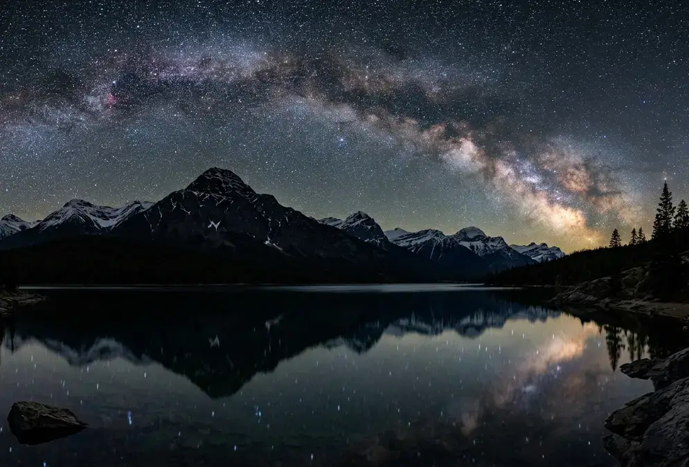
Star-filled night sky over Pyramid Lake in Jasper National Park, Alberta, with a mountain silhouette and calm water reflecting the Milky Way

Featured · Destination

Stargazing in Jasper National Park

Jasper National Park is widely called the largest accessible Dark Sky Preserve in Canada: 11,228 km², an October Dark Sky Festival, and a 38-seat planetarium.

Reconciliation: Ongoing, Not Resolved
Parks Canada doesn't describe this history as settled. Its own materials frame the current relationship with Stoney Nakoda and Métis communities as an ongoing commitment to work together, not a finished account with a tidy ending, and neither of the other sources behind this piece present it any differently. The homesteads standing on Snaring Road are treated as interpretive sites, not as a closed chapter.
For a visitor planning a trip around Jasper National Park's dark skies, that history is worth carrying into the park rather than leaving at the gate. The same valley that empties out at night for the Jasper Dark Sky Festival was, within living family memory, a place people were forced to leave. Reading the Jasper stargazing FAQ or planning a night under a clear sky doesn't require ignoring that history; it just means knowing it before you go. None of this is resolved by a plaque or a single ceremony. It's closer to what Lauren Moberly's own family history suggests: a return that is real, ongoing, and, in places, still incomplete.
Wide, respectful photograph of Uluru glowing red at dusk under a star-filled sky on Anangu land, capturing Uluru's cultural significance and the visitor etiquette every stargazer should know

Featured · Article

Uluru Cultural Significance and Visitor Etiquette

Uluru is Anangu land under joint management. Here's why the 2019 climb closure is settled policy, what you can't photograph, and real visitor etiquette.