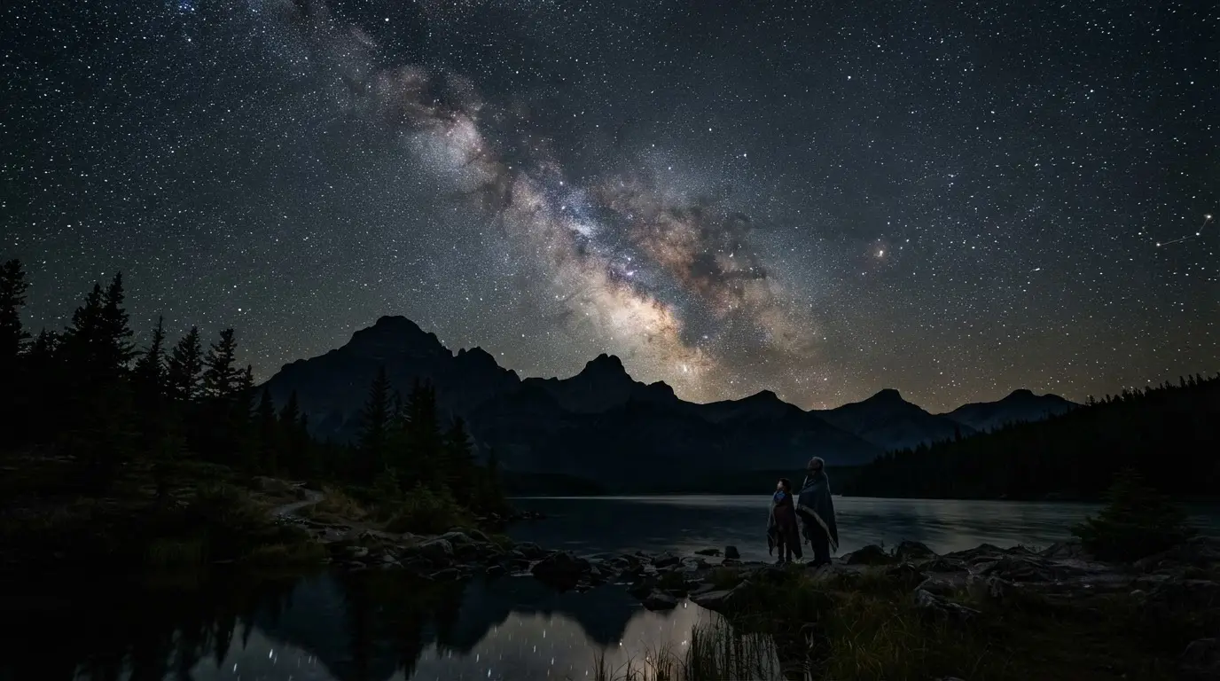

The Rothney Observatory's Indigenous Skies Program
The Rothney Astrophysical Observatory (RAO) sits near the hamlet of Priddis, Alberta, about 20 km southwest of Calgary[6], where the University of Calgary runs it for research, graduate and undergraduate teaching, and public outreach. Among its outreach offerings is a program called Indigenous Skies, which the observatory bills simply as a way to "explore First Nations sky stories and constellations"[7]. In practice, that means paired reference pages: one giving the official International Astronomical Union description of a constellation, the other giving the traditional Indigenous sky story tied to the same patch of sky[1].
Jennifer Howse, the RAO's Education Specialist, oversees the observatory's outreach and school programs[8]. Framed that way, this reads as a working education program run by a research observatory describing its own material, rather than a folklore anthology assembled by outsiders to the communities it names.
Treaty 7 Territory: Whose Sky Knowledge This Is
The observatory's own materials are specific about where it sits: within the traditional territories of the peoples of Treaty 7, including the Blackfoot Confederacy (Siksika, Piikani, and Kainai), the Tsuut'ina First Nation, and the Stoney Nakoda (Chiniki, Bearspaw, and Goodstoney), with the Métis Nation of Alberta also based nearby in Calgary[9]. A 2020 Global News segment covering the observatory made the same point on air, describing the RAO as sitting on the traditional lands of the Stoney Nakoda peoples and the Blackfoot Nation[10].
That's close to the honest limit of what's published, though. No academic paper, program page, or interpretive material found for this piece attaches a specific named constellation or story to the Stoney Nakoda in particular, separate from that general territorial acknowledgment. The one strand of sky knowledge the Indigenous Skies program documents in real depth is Métis, not Stoney Nakoda, which is worth knowing before assuming a source covers the wrong nation's material. The land-removal side of Jasper's own history, a harder and separate story from what the RAO documents here, is covered in Jasper National Park's Indigenous History: Removal and Return.
Métis Wayfinding: What the Program Actually Documents
The clearest documented material in the Indigenous Skies program is Métis wayfinding: knowledge of star, sun, and moon positions that let Métis travelers and fur-trade guides cross vast distances without a compass. Connecting landforms to the positions of stars or constellations in the night sky, or to the sun and the moon, is what made that kind of extensive travel possible in the first place[11]. It reads as a working navigation system, and the program presents it that way in its own materials, rather than repackaging it as folklore for a general audience.
That kind of long-distance reading of the sky is exactly what travel through the Rockies and the foothills would have required, long before any road existed. It's also the piece of Indigenous sky knowledge most directly relevant to a visitor standing under Jasper's Dark Sky Preserve today: the same absence of ground light that makes Jasper worth a stargazing trip now is what made star-based navigation legible to travelers who had no other way to find their way across the same landscape.
Featured · Destination
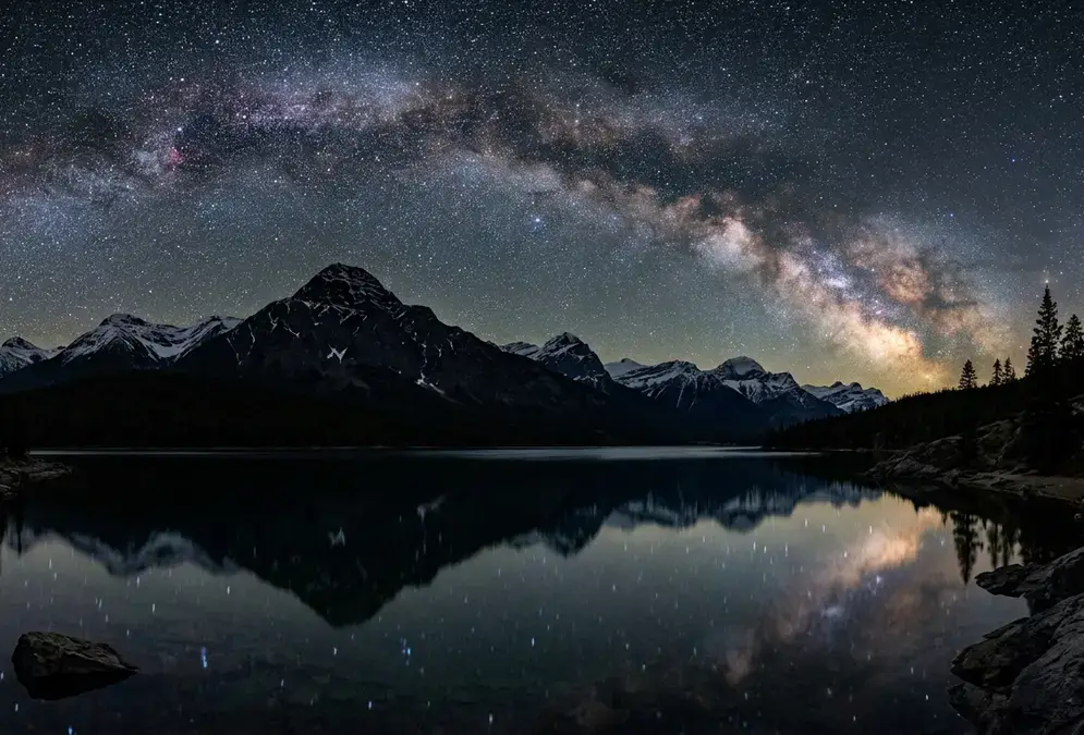
Stargazing in Jasper National Park
Jasper National Park is widely called the largest accessible Dark Sky Preserve in Canada: 11,228 km², an October Dark Sky Festival, and a 38-seat planetarium.
Jasper's Dark Sky Preserve: Where This Knowledge Meets Protected Night
In March 2011, Jasper National Park was designated a Dark-Sky Preserve by the Royal Astronomical Society of Canada, working with Parks Canada[12]. At 11,228 km², it's the second-largest Dark-Sky Preserve in Canada, behind only Wood Buffalo National Park[4]. The sky itself measures dark to match: the core area reads about 21.4 mag/arcsec² overall, brighter at 21.1–21.2 near the Town of Jasper, and darker than 21.7 out at the Big Bend backcountry site[5].
21.4
Every October, the park hosts a Dark Sky Festival in partnership with the Edmonton Centre of the Royal Astronomical Society of Canada, pairing astronomy communicators and star parties with daytime solar observing[13]. It's the most concentrated way to see the preserve used for exactly the kind of skywatching the Rothney program's material documents: official constellation science and traditional sky knowledge, aimed at the same patch of sky, in the same week. The Jasper Dark Sky Festival guide has the specifics on dates and how to plan around it.
Visiting Jasper With This Sky Knowledge in Mind
Inside the preserve, a handful of spots are reliably good for looking up without a permit or a guide: Pyramid Island, Maligne Lake, Old Fort Point, and the toe of the Athabasca Glacier are all accessible year-round[14]. None of them require special access, which is part of what makes Jasper's preserve unusual: it's the largest accessible Dark Sky Preserve in the world, meaning there's a town inside its boundary, so a stargazing trip here doesn't force a choice between comfort and a dark horizon[2].
Recommended tours
Tours are selected for quality, not commission. I earn a small fee if you book — at no extra cost to you.
For a longer breakdown of exactly where to set up and when, the best stargazing spots in Jasper works through the preserve by season and drive time, and the Fairmont Jasper Park Lodge is the obvious in-park base for anyone who'd rather not drive out after dark. None of that requires knowing the Treaty 7 history above to enjoy. It just means knowing what the ground under a tripod actually is.
Featured · Article
What Is Astrotourism? The Complete Beginner's Guide
Astrotourism means travel built around dark skies: meteor showers, auroras, the Milky Way. What it means, where to go, and how to plan your first trip.