
Mauna Kea is sacred ground before it's a destination
Before anyone plans flights or rental cars, one fact should shape the whole trip: Mauna Kea's summit is sacred ground, not a neutral backdrop for astronomy. In Hawaiian tradition it's known as the piko, the umbilical cord connecting Hawai'i Island to the heavens, and as wao akua, the realm of the gods[1]. The mountain carries shrines and burial sites, and observatories have shared its summit with that history for decades, not always well.
That tension came to a head in 2019, when mass protests halted construction of the Thirty Meter Telescope (TMT) and exposed how little Native Hawaiian input had shaped the project's planning[2]. Lawmakers responded by creating the Mauna Kea Stewardship and Oversight Authority, a body meant to give Native Hawaiians real say in how the summit is managed. Decades of state audits, meanwhile, found leaseholding observatories had left trash and chemical waste, including raw sewage, on the mountain[3] — hardly the picture of careful stewardship the summit's status calls for.
“Maunakea is a deeply sacred place that is revered in Hawaiian traditions. It's regarded as a shrine for worship, as a home to the gods, and as the piko of Hawai'i Island.”
In June 2025, the Office of Hawaiian Affairs ended an eight-year legal battle over the state's management of Mauna Kea, dropping two lawsuits partly because the federal government had declined to help fund the $3 billion TMT[4]. That's a shift in the dispute, not a resolution of it — the telescope's future remains unsettled, and so does the broader question of who governs the mountain. None of this is a footnote to your visit: it's the reason this guide sends general travelers to the Maunakea Visitor Information Station well below the summit, not to the peak above it. For the full destination rundown, see Mauna Kea Stargazing, and for the fuller history and etiquette behind that guidance, see Mauna Kea cultural significance and visitor etiquette.
Getting to the Big Island: Hilo (ITO) or Kona (KOA)
Mauna Kea sits inland, roughly at the center of Hawai'i Island, which means neither of the island's two airports is exactly next door. Hilo International Airport (ITO), on the wetter east side, is one of the island's two international airports[5] and sits closest to the Maunakea Access Road turnoff. Ellison Onizuka Kona International Airport at Keāhole (KOA), on the dry west side, was renamed in 2017 to honor astronaut Ellison Onizuka[6], a Big Island native — a fitting name for the airport nearest the world's astronomy.
Neither drive is short. Treat any specific minute count you find online as a rough estimate, not a schedule; actual drive time depends on exactly where you're starting from and how Saddle Road traffic is running that day. Travelers flying into Hilo generally have the shorter run to the access road; Kona-side visitors, especially from resorts well south of the airport, should plan for noticeably longer.
Which airport makes sense depends on the rest of your trip. Fly into Hilo if Mauna Kea and the volcano side of the island are the priority; Hilo Hawaiian Hotel keeps you close to the access road without adding an extra hour each way. Fly into Kona if you're pairing the mountain with beach time, and budget the longer drive as part of the plan rather than an afterthought.
| Hilo (ITO) | Kona (KOA) | |
|---|---|---|
| Island side | East, wetter | West, drier |
| Distance to access road | Closer, shorter drive | Farther, longer drive |
| Best for | Mauna Kea-focused trips | Beach-and-summit combo trips |
The drive up: Saddle Road to the Visitor Information Station
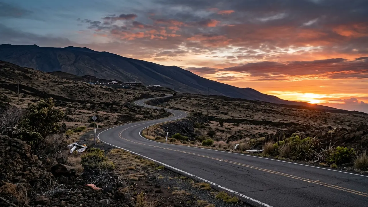
The route itself is simple, even if the drive takes concentration. From either airport, you'll join the Daniel K. Inouye Highway, still widely called Saddle Road, and follow it to Milepost 28, where you turn onto Maunakea Access Road[7]. From there it's a paved climb to the Maunakea Visitor Information Station (VIS), part of the Onizuka Center for International Astronomy, at 9,200 feet (2,804 m)[8] — high enough to sit above most of the island's cloud and haze, low enough that the climb itself needs no special vehicle.
The VIS keeps standard daily hours, 9:00 a.m. to 9:00 p.m.[9], though it's worth confirming current hours before you commit an evening to the drive, since the station has posted occasional schedule changes. Give yourself daylight for the first climb; the road gains elevation fast, and headlights alone make it harder to judge the turns.
9,200 ft
What waits at the top of the paved section is a working visitor facility, not a polished attraction: a small building, outdoor telescope pads, restrooms, and a parking lot that fills most clear evenings. The Onizuka Center Visitor Station program covers what a typical evening there looks like in detail, worth reading before you go since the format has shifted over the years.
Rental cars, 4WD, and where the pavement ends
Here's the part that trips up a lot of visitors: a standard rental car can get you all the way to the VIS. The major Big Island rental companies allow their vehicles on Saddle Road itself[10], and the road up to the Visitor Information Station is paved the entire way — you don't need four-wheel drive, a lifted SUV, or anything beyond an ordinary rental to reach it.
Recommended tours
Tours are selected for quality, not commission. I earn a small fee if you book — at no extra cost to you.

Above the VIS, everything changes. Drivers are required to use four-wheel-drive vehicles for that stretch, because the road to the summit is unpaved, rough, and quite steep[11]. Rental agreements compound the problem: driving a standard rental past the VIS is treated as a contract violation under most agreements, one that can void your insurance coverage[12]. That's general rental-industry practice rather than one single official rule, and terms vary by company, so check your own agreement before you leave the airport, not at the turnoff.
Practically, this leaves most travelers with two honest choices: stop at the VIS, which is where the free public stargazing programs happen anyway, or book a permitted summit tour with an operator whose vehicles and insurance are built for that road. Renting a 4WD yourself and hoping the summit road works out is the option most likely to end in a voided policy or a rough, unnecessary drive.
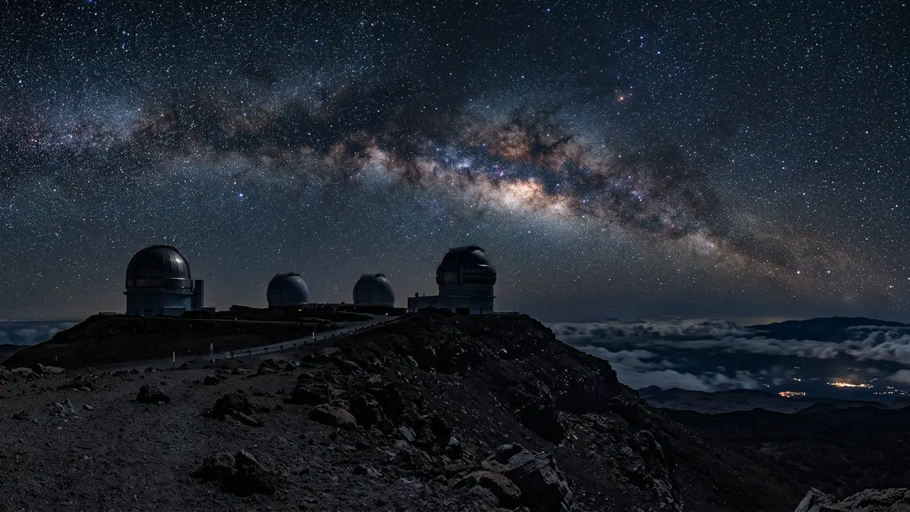
Featured · Destination
Mauna Kea
Mauna Kea is sacred to Native Hawaiians and home to world-class observatories. Here's how to plan respectful, safe Mauna Kea stargazing at the Onizuka VIS.
Altitude, acclimatization, and who should stay at the VIS
The VIS isn't just a scenic stopping point — it's doing real safety work. The drop in atmospheric pressure and oxygen that comes with altitude can cause altitude sickness, which can become life-threatening if ignored[13]. That risk is exactly why the visitor station stops well short of the summit, giving your body a chance to adjust before it faces anything higher.
The station's own guidance is specific about who shouldn't go further: pregnant women, people in poor health, and children under 13 are advised not to venture above the Visitor Information Station[13]. Anyone in that group still gets the full stargazing experience without the ascent — the VIS runs its own programs and telescopes precisely because most visitors have no real need to go higher.
For everyone else, the standard advice is to spend at least thirty minutes at the VIS before considering anything further, watching for headache, dizziness, or shortness of breath. None of this is really a compromise. The dark sky at the VIS's 9,200 feet[8] is honest and dramatic on its own; the summit above it is a bonus for the few travelers with a permitted operator and a real acclimatization plan, not a box every visitor needs to check.
Planning the trip: where to stay, and booking the summit if you need it
Base location changes the shape of the whole visit. Staying on the Hilo side keeps the drive to the access road short; a beachfront hotel right in town works well for that. Waimea, sometimes called Kamuela, sits even closer to the turnoff than either coastal city, and Kamuela Inn is a straightforward option there if shaving time off the drive matters more than staying near the ocean.
Pack for genuine cold rather than Hawai'i's usual forecast:
- Warm layers — a winter coat, hat, and gloves, even coming straight from a beach day
- A headlamp with a red-light setting, so you're not wrecking anyone's night vision at the VIS
- Closed shoes with real tread, for uneven volcanic ground after dark
- Water and snacks, since there's nothing to buy past the last town on the way up
Featured · Article
What Is Astrotourism? The Complete Beginner's Guide
Astrotourism means travel built around dark skies: meteor showers, auroras, the Milky Way. What it means, where to go, and how to plan your first trip.
If you have a genuine reason to go beyond the VIS, the honest move is to book with a permitted operator rather than testing your rental agreement. Mauna Kea Summit Adventures and Hawaii Forest & Trail both run summit trips with vehicles and insurance built for the unpaved road. For most travelers, though, the VIS delivers the actual point of the trip: a real, dark, high-altitude sky, reached without a 4WD, a summit permit, or a debate about who the mountain belongs to. For how much of your Big Island trip to actually build around it, see How Many Days for Mauna Kea Stargazing?, and for what to do with the daylight hours on either side of the drive, see Big Island Things to Do Beyond Mauna Kea.