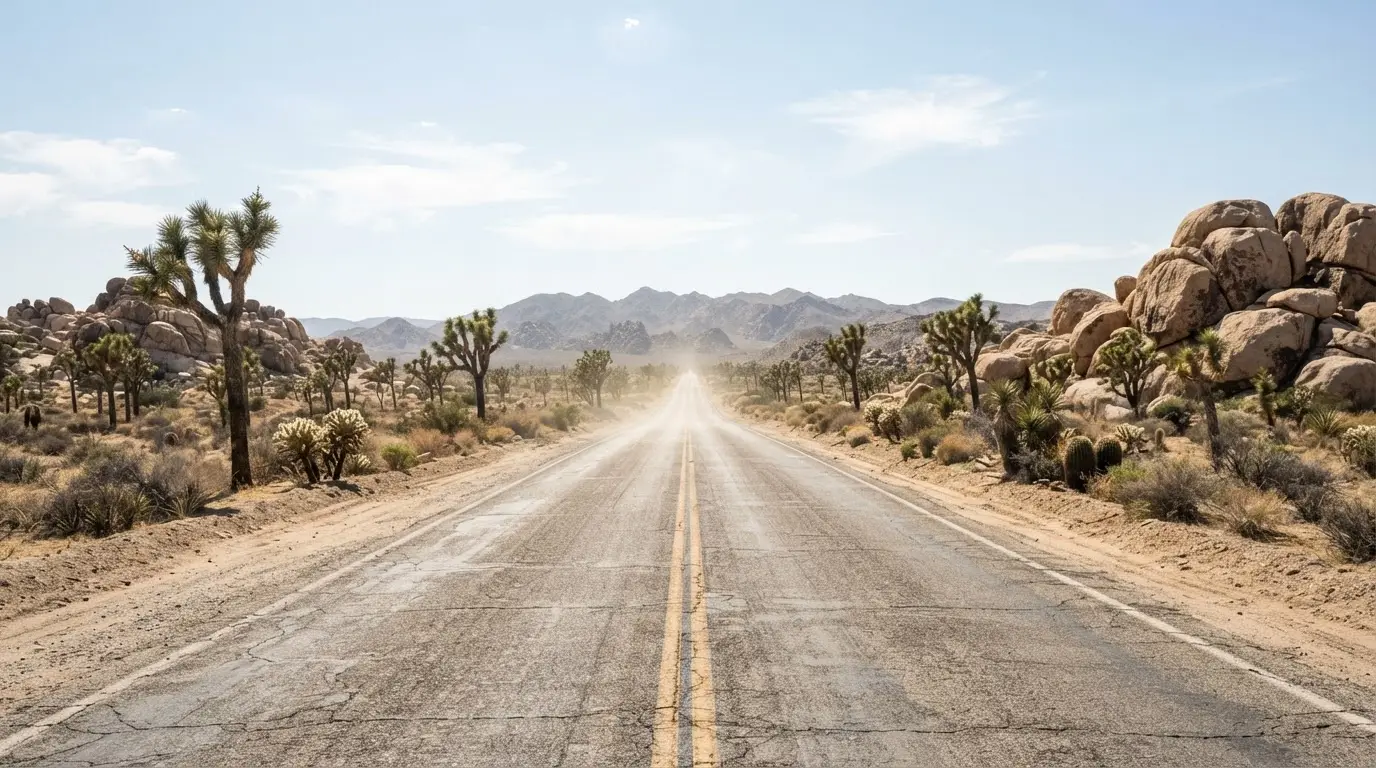

The Honest Answer for This Route
Both desert legs get hot in September, but they don't get hot the same way, and the difference is really about elevation gradient and timing, not just raw temperature. Death Valley in early September is still deep summer heat, sitting near or below sea level for most of its accessible sights. Joshua Tree, straddling the boundary between the Colorado and Mojave Deserts, sits higher and runs closer to its own shoulder season by the same week, uncomfortable but workable if you shift activity toward the edges of the day.
The month itself moves fast, and the diurnal temperature range inside a single visit matters as much as the monthly average. Thirty-year normals for 1961–1990 (WRCC, Death Valley station) put the average high at 109.3°F on September 1[4] and 99.7°F on September 30[5], a ten-degree drop inside one calendar month at the same weather station. Joshua Tree's own threshold is lower to start with: temperatures there exceed 85°F from April through September, with July and August the worst of it[6]. Neither number describes a comfortable travel day. But the gap between the two parks, not the gap within either one, is the real argument for keeping one leg and cutting the other.
Three moves actually change the outcome for this trip:
- Cut Death Valley from the route entirely and replace it with cooler, higher ground already on the way
- Shorten and reshuffle Joshua Tree toward sunrise, sunset, and after-dark hours instead of a full daytime park visit
- Move the desert dark-sky night to somewhere with real elevation instead of assuming the desert floor is the only option
Death Valley is the leg to touch first. Joshua Tree is the one to adjust, not remove.
Death Valley: The Leg With the Strongest Case for Cutting
Death Valley earns its Gold Tier dark-sky rating[7], and on a clear night that rating is real. It also holds the record for the hottest reliably measured air temperature on Earth: 134°F, at Furnace Creek on July 10, 1913[8]. Early September isn't 1913, but it isn't cool either, and the Death Valley vs Joshua Tree stargazing comparison already lays out why the two parks ask such different things of a visitor.
The National Park Service doesn't tell visitors to avoid Death Valley in this window. It tells them to change what they do inside it. Touring by air-conditioned car or hiking at higher elevation are the two options it names explicitly[9], and neither one is the full-day, desert-floor itinerary most road-trip schedules assume. NPS rangers point specifically to Dante's View and Zabriskie Point as sunrise and sunset spots[10], both up on the rim rather than down on the valley floor.
Dante's View sits at 5,476 feet on the Black Mountains, roughly 5,750 feet above the valley it overlooks[11], and is described as offering a "perfect view for night time star viewing with telescopes"[12]. That's the honest trade for keeping Death Valley on the schedule: not the classic daytime loop through the valley floor, but a rim-elevation stop timed around dawn, dusk, and the hours after dark. For a fixed number of nights, that's a smaller version of Death Valley, not the version most travelers pictured when they booked it. The Death Valley extreme-heat packing list is worth reading before deciding either way.
Joshua Tree: Why It Survives the Cut
Joshua Tree crosses 85°F for the same long stretch, April through September, with July and August the hottest months[6] — a threshold that marks a long hot season, not a peak-heat figure to weigh against Death Valley's numbers. What actually works in Joshua Tree's favor is its range: higher ground across much of the park, shorter exposure per stop, and a shift toward night-oriented activity, even though its lower elevations can still hit 120°F, with no water or shade available inside the boundary[14]. None of that makes Joshua Tree comfortable at noon. It does make it survivable at the hours a road trip can actually shift toward.
The National Park Service's own guidance for a hot-season visit is specific: take shorter trails closer to sunrise and sunset, visit the visitor centers, and go stargazing under the dark night sky instead of building a full daytime schedule[13]. That's not a consolation prize; it's the same advice this piece would give anyway. A Joshua Tree stop built around one or two nights of stargazing plus a short morning walk survives the heat in a way a full two-day hiking itinerary doesn't.
If the itinerary already assumed two or three nights here, this is the leg to shorten rather than cut. The best time to stargaze in Joshua Tree piece covers the season-by-season comfort numbers in full; the practical move for a fixed-shape September trip is trimming Joshua Tree to its dark-sky hours and moving on. The how many days you need in Joshua Tree guide sizes that trim more precisely than a road-trip schedule usually allows for.
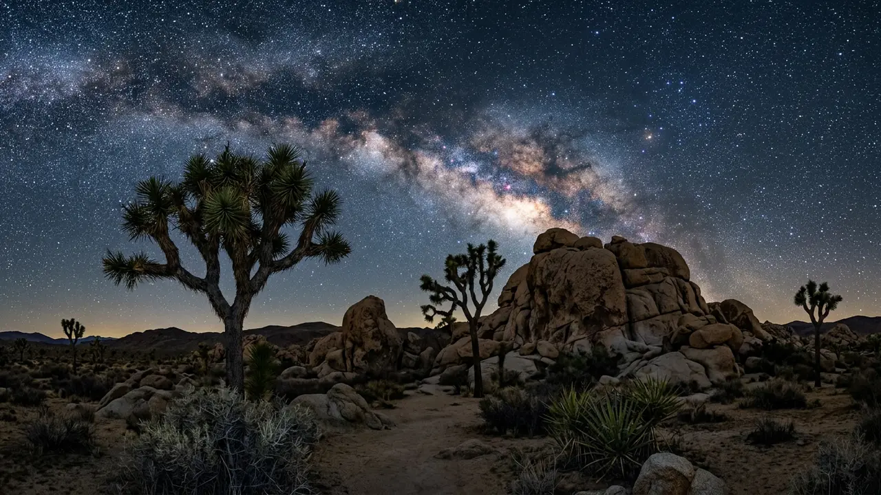
Featured · Destination
Joshua Tree National Park
Joshua Tree earned International Dark Sky Park status in 2017, just two hours from LA. Here's where to see the Milky Way, dodge crowds, and stay the night.
The Salvage Play If You Keep the Joshua Tree Leg
If Joshua Tree stays on the route, the fix isn't avoiding the park, it's picking higher ground inside it. Keys View, a drive-up overlook perched in the Little San Bernardino Mountains, has views stretching into the Coachella Valley[15]. It's a five-minute stop from the car, not a hike, which matters when the lower elevations are running toward that 120°F ceiling[14].
That combination, a short drive-up overlook at real elevation instead of a trailhead on the desert floor, is what makes the shortened version of Joshua Tree actually work in September. The best stargazing spots in Joshua Tree guide covers where else in the park holds up the same way, spot by spot, rather than treating the whole park as a single heat risk.
Where the Reclaimed Days Actually Go
Cutting or shortening the desert legs frees up nights, and the route already has somewhere to put them: Sequoia National Park itself, though the cooler, higher options inside it don't all cost the same to reach. Mineral King, a subalpine valley inside Sequoia, sits at 7,400 feet on the valley floor, thousands of feet above and degrees cooler than either desert stop[2]. But it's a genuine detour, not a stop along the way: the access road runs 25 miles off CA-198 near Three Rivers and takes about 90 minutes each way[2], closer to a half-day commitment than a quick pull-off.
Timing helps too. Sequoia and Kings Canyon's own Dark Sky Festival runs September 11-13, 2026[3], described by the Park Service as the largest night-sky festival in Central California, held across Mineral King, Giant Forest, Lodgepole, Grant Grove, Cedar Grove, and Lake Kaweah[16]. A trip already routing through Sequoia in September can fold a reclaimed desert night straight into that event instead of inventing a new stop.
Recommended tours
Tours are selected for quality, not commission. I earn a small fee if you book — at no extra cost to you.
For travelers with a day to spare beyond Sequoia itself, Alabama Hills near Lone Pine is the other candidate. It tops out at 5,354 feet and rates Bortle class 2, benchmarked explicitly against Joshua Tree's own Bortle 2-4 range[17], and it functions as the gateway to Mount Whitney and the Eastern Sierra[18]. It's a genuinely separate excursion from Sequoia, not a stop tucked inside the existing route, so it earns its place only if that spare day exists.
| Option | Elevation | Best for |
|---|---|---|
| Mineral King (Sequoia) | 7,400 ft valley floor | A half-day detour: 25 mi, ~90 min each way |
| Sequoia Dark Sky Festival | Multiple sites, Sept 11-13, 2026 | A programmed night instead of a DIY one |
| Alabama Hills (Eastern Sierra) | 5,354 ft, Bortle 2 | A day trip beyond Sequoia's own boundary |
The Resequenced Itinerary
Put together, the fix for a Big Sur, Sequoia, Joshua Tree, Death Valley route running into September looks less like cutting a leg and more like moving where the hard nights happen.
- Big Sur to Sequoia, as planned
- Sequoia, extended by the day or two Death Valley would have used, timed to the Dark Sky Festival if the dates line up, with a night at Mineral King if not
- Joshua Tree, shortened to one or two nights built around sunrise, sunset, and Keys View instead of a full daytime schedule
- Death Valley, kept only if the schedule allows a rim-elevation stop at Dante's View or Zabriskie Point rather than the classic valley-floor loop, or dropped in favor of a second night back in the Sierra
Featured · Article
What Is Astrotourism? The Complete Beginner's Guide
Astrotourism means travel built around dark skies: meteor showers, auroras, the Milky Way. What it means, where to go, and how to plan your first trip.
The net change is small: the same number of nights, redistributed toward elevation instead of desert floor. Anyone weighing where to sleep on those reclaimed nights should check the best lodges near Joshua Tree guide before locking in dates.