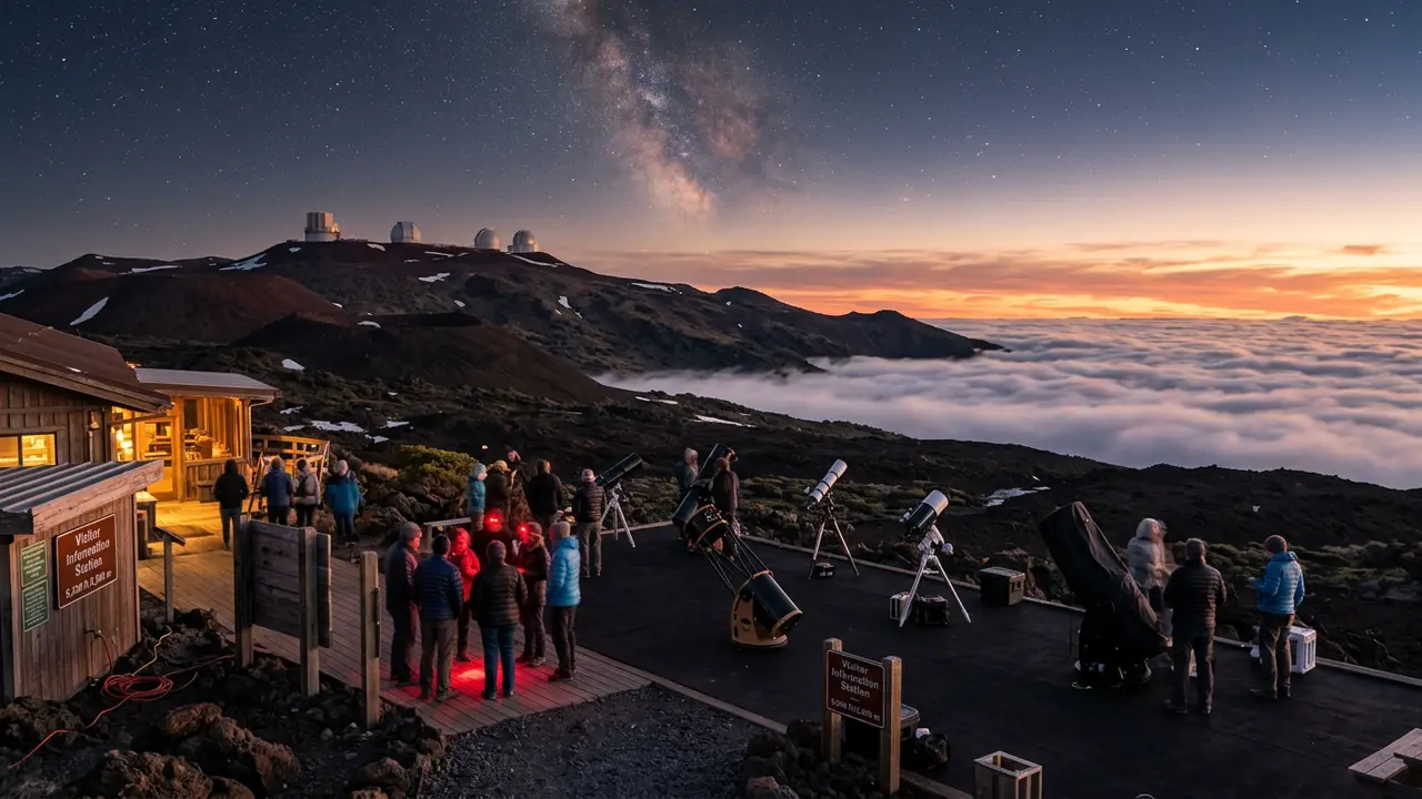

Sacred ground first: what to know before checking any forecast
Featured · Destination
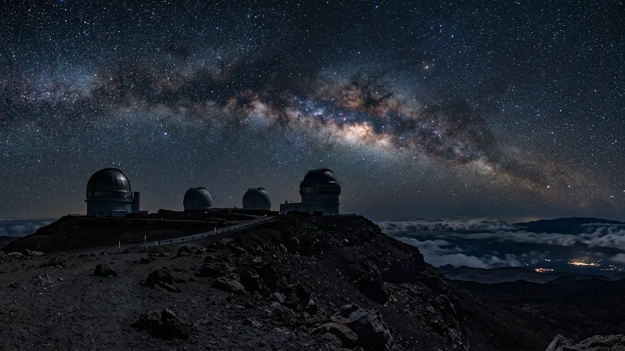
Mauna Kea
Mauna Kea is sacred to Native Hawaiians and home to world-class observatories. Here's how to plan respectful, safe Mauna Kea stargazing at the Onizuka VIS.
How to actually read a Mauna Kea cloud-cover forecast
Dry season, wet season, and why the calendar matters less than you'd think
Any clear night matters more than any specific month.
Which forecast tool to trust
The Mauna Kea Weather Center (MKWC), run by the University of Hawai'i's Institute for Astronomy, is built specifically for the summit and used by the observatories that actually work up there. It's the closest thing to a specialist forecast this mountain has, showing cloud, seeing, and transparency model output tuned to the summit's exact elevation and geography rather than a general regional forecast. Two consumer tools worth knowing as a secondary cross-check:
- AccuWeather's astronomy forecast for Mauna Kea, a general-purpose astronomy weather score, useful for a quick second opinion but not summit-specialist grade
- meteoblue's seeing forecast for Mauna Kea, a seeing and transparency model aimed at amateur astronomers, also worth checking rather than relying on alone
| MKWC | AccuWeather | meteoblue | |
|---|---|---|---|
| Built for | Summit astronomers | General travelers | General travelers |
| Model detail | Site-specific cloud, seeing & transparency | General astronomy score | Seeing/transparency index |
| Best used as | Primary source | Secondary cross-check | Secondary cross-check |
Before you drive up: vehicle rules, altitude, and closures that have nothing to do with weather
Recommended tours
Tours are selected for quality, not commission. I earn a small fee if you book — at no extra cost to you.
Planning your night around the forecast
Put the pieces together and a Mauna Kea trip has a simple planning order: check the forecast a few days out for a general read, check the moon calendar so you're not fighting a bright sky, check official access channels the same day for closures unrelated to weather, and pack for genuine cold no matter what the forecast says about clouds. Conditions at the VIS turn cold fast after sunset, even when it was 85°F at the coast that afternoon:
- Warm layers — a winter coat, hat, and gloves, even arriving straight from a beach afternoon
- A headlamp with a red-light mode, to protect your own night vision and everyone else's
- Water and snacks, since there's nothing to buy once you're past the last town
- A downloaded map of the access road, since cell service becomes unreliable above the VIS
Featured · Article
What Is Astrotourism? The Complete Beginner's Guide
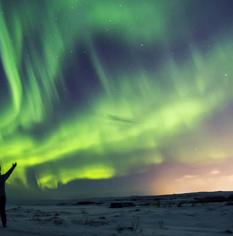
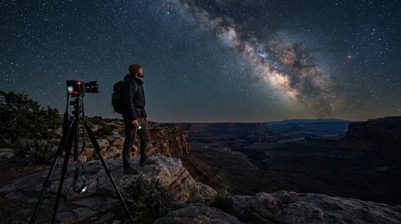
Astrotourism means travel built around dark skies: meteor showers, auroras, the Milky Way. What it means, where to go, and how to plan your first trip.